Garmin GPSMAP 441s Owner's Manual - Page 54
Configuring the Chartplotter, Configuring System Settings, Configuring Units of Measure - troubleshooting
 |
View all Garmin GPSMAP 441s manuals
Add to My Manuals
Save this manual to your list of manuals |
Page 54 highlights
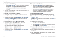
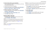
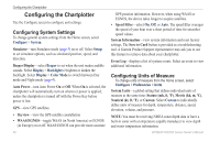
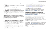
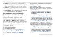
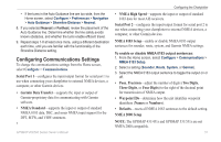
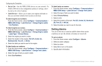
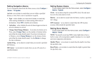
Configuring the Chartplotter Configuring the Chartplotter Use the Configure screen to configure unit settings. Configuring System Settings To change general system settings from the Home screen, select Configure > System. Simulator-turn Simulator mode (page 5) on or off. Select Setup to set simulator options, such as simulated position, speed, and direction. Beeper/Display-select Beeper to set when the unit makes audible sounds. Select Display > Backlight to brighten or darken the backlight. Select Display > Color Mode to switch between Day mode and Night mode (page 4). Auto Power-turn Auto Power On or Off. When On is selected, the chartplotter will automatically turn on whenever power is applied, unless the chartplotter is turned off with the Power Key before power is lost. GPS-view GPS satellites. • Skyview-view the GPS satellite constellation • WAAS/EGNOS-toggle WAAS (in North America) or EGNOS (in Europe) on or off. WAAS/EGNOS can provide more-accurate 48 GPS position information. However, when using WAAS or EGNOS, the device takes longer to acquire satellites. • Speed Filter-select On, Off, or Auto. The speed filter averages the speed of your boat over a short period of time for smoother speed values. System Information-view system information and reset factory settings. The Save to Card button is provided as a troubleshooting tool. A Garmin Product Support representative may ask you to use this feature to retrieve data about your chartplotter. Event Log-displays a list of system events. Select an event to view additional information. Configuring Units of Measure To change units of measure from the Home screen, select Configure > Preferences > Units. System Units-a global setting that defines individual units of measure at the same time: Statute (mh, ft, ºF), Metric (kh, m, ºC), Nautical (kt, ft, ºF), or Custom. Select Custom to individually define units of measure for depth, temperature, distance, speed, elevation, volume, and pressure. Note: You must be receiving NMEA sonar depth data or have a built-in sonar with a temperature-capable transducer to view depth and water temperature information. GPSMAP 400/500 Series Owner's Manual
-
 1
1 -
2
-
3
-
4
-
5
-
6
-
7
-
8
-
9
-
10
-
11
-
12
-
13
-
14
-
15
-
16
-
17
-
18
-
19
-
20
-
21
-
22
-
23
-
24
-
25
-
26
-
27
-
28
-
29
-
30
-
31
-
32
-
33
-
34
-
35
-
36
-
37
-
38
-
39
-
40
-
41
-
42
-
43
-
44
-
45
-
46
-
47
-
48
-
 49
49 -
 50
50 -
 51
51 -
 52
52 -
 53
53 -
 54
54 -
 55
55 -
 56
56 -
 57
57 -
 58
58 -
 59
59 -
60
-
61
-
62
-
63
-
64
-
65
-
66
-
67
-
68
-
69
-
70
-
71
-
72
-
73
-
74
-
75
-
76
-
77
-
78
-
79
-
80
-
81
-
82
-
83
-
84
-
85
-
86
-
87
-
88
-
89
-
90
-
91
-
92
-
93
-
94
-
95
-
96
 |
 |