2009 BMW M3 Owner's Manual - Page 143
2009 BMW M3 Manual
Page 143 highlights
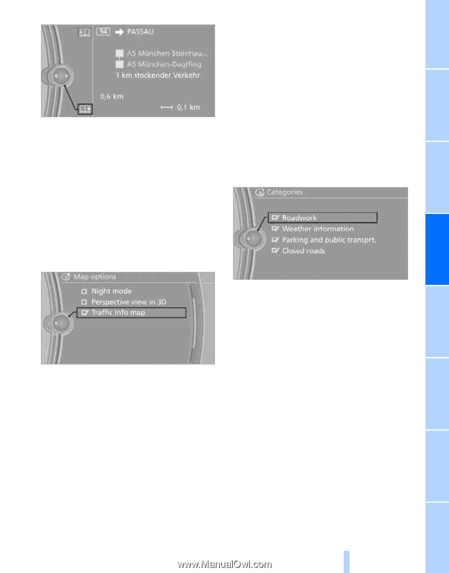
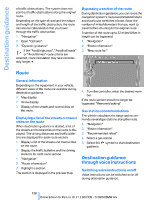
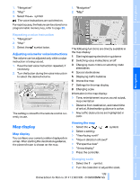
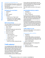
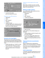
Additional information in the map display When using a smaller map scale, the traffic obstructions are displayed as gray bars at the edge of the calculated route. 3. To exit from the menu: Move the controller to the left. You can filter which traffic bulletins are to be displayed by the system: 1. "Navigation" 2. "Map" 4. "Traffic Info categories" 3. Open "Options". 1. "Navigation" 2. "Map" 3. Open "Options". 4. "Settings" 5. "Traffic Info map" The map is optimized for displaying the traffic bulletins. Symbols for the special destinations are no longer displayed. Traffic bulletins of the selected category are displayed. > Traffic bulletins on incidents along the route are always displayed. > For your own safety, traffic bulletins that notify you of potentially dangerous situations, such as wrong-way drivers, cannot be hidden. Symbols in the map display The appearance of the symbols indicating a traffic obstruction depends on the scale and the position of the traffic obstruction relative to the route. > Smaller map scale, e.g. 1 mile/2 km: white sign with the traffic obstruction symbol > Larger map scale, e.g. 50 miles/100 km: white sign with an arrow in the relevant direction Traffic bulletins during destination guidance System response will vary depending on whether or not "Dynamic guidance" is selected. Information on sources of great danger, such as wrong-way drivers, is displayed regardless of the setting. Traffic obstructions The system calculates the optimized route, taking into consideration traffic obstructions and road types. 141 Online Edition for Part no. 01 41 2 600 999 - © 08/08 BMW AG Reference Mobility Communications Entertainment 5. Select the filter: Navigation Driving tips Highlighting traffic bulletins Controls Filtering of traffic bulletins At a glance
-
 1
1 -
2
-
3
-
4
-
5
-
6
-
7
-
8
-
9
-
10
-
11
-
12
-
13
-
14
-
15
-
16
-
17
-
18
-
19
-
20
-
21
-
22
-
23
-
24
-
25
-
26
-
27
-
28
-
29
-
30
-
31
-
32
-
33
-
34
-
35
-
36
-
37
-
38
-
39
-
40
-
41
-
42
-
43
-
44
-
45
-
46
-
47
-
48
-
49
-
50
-
51
-
52
-
53
-
54
-
55
-
56
-
57
-
58
-
59
-
60
-
61
-
62
-
63
-
64
-
65
-
66
-
67
-
68
-
69
-
70
-
71
-
72
-
73
-
74
-
75
-
76
-
77
-
78
-
79
-
80
-
81
-
82
-
83
-
84
-
85
-
86
-
87
-
88
-
89
-
90
-
91
-
92
-
93
-
94
-
95
-
96
-
97
-
98
-
99
-
100
-
101
-
102
-
103
-
104
-
105
-
106
-
107
-
108
-
109
-
110
-
111
-
112
-
113
-
114
-
115
-
116
-
117
-
118
-
119
-
120
-
121
-
122
-
123
-
124
-
125
-
126
-
127
-
128
-
129
-
130
-
131
-
132
-
133
-
134
-
135
-
136
-
137
-
 138
138 -
 139
139 -
 140
140 -
 141
141 -
 142
142 -
 143
143 -
 144
144 -
 145
145 -
 146
146 -
 147
147 -
 148
148 -
149
-
150
-
151
-
152
-
153
-
154
-
155
-
156
-
157
-
158
-
159
-
160
-
161
-
162
-
163
-
164
-
165
-
166
-
167
-
168
-
169
-
170
-
171
-
172
-
173
-
174
-
175
-
176
-
177
-
178
-
179
-
180
-
181
-
182
-
183
-
184
-
185
-
186
-
187
-
188
-
189
-
190
-
191
-
192
-
193
-
194
-
195
-
196
-
197
-
198
-
199
-
200
-
201
-
202
-
203
-
204
-
205
-
206
-
207
-
208
-
209
-
210
-
211
-
212
-
213
-
214
-
215
-
216
-
217
-
218
-
219
-
220
-
221
-
222
-
223
-
224
-
225
-
226
-
227
-
228
-
229
-
230
-
231
-
232
-
233
-
234
-
235
-
236
-
237
-
238
-
239
-
240
-
241
-
242
-
243
-
244
-
245
-
246
-
247
-
248
-
249
-
250
-
251
-
252
-
253
-
254
-
255
-
256
 |
 |