Garmin GPSMAP 4208 Owner's Manual - Page 44
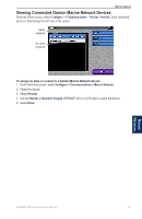
Configuring Other Vessels, Other Vessels
 |
UPC - 753759066048
View all Garmin GPSMAP 4208 manuals
Add to My Manuals
Save this manual to your list of manuals |
Page 44 highlights
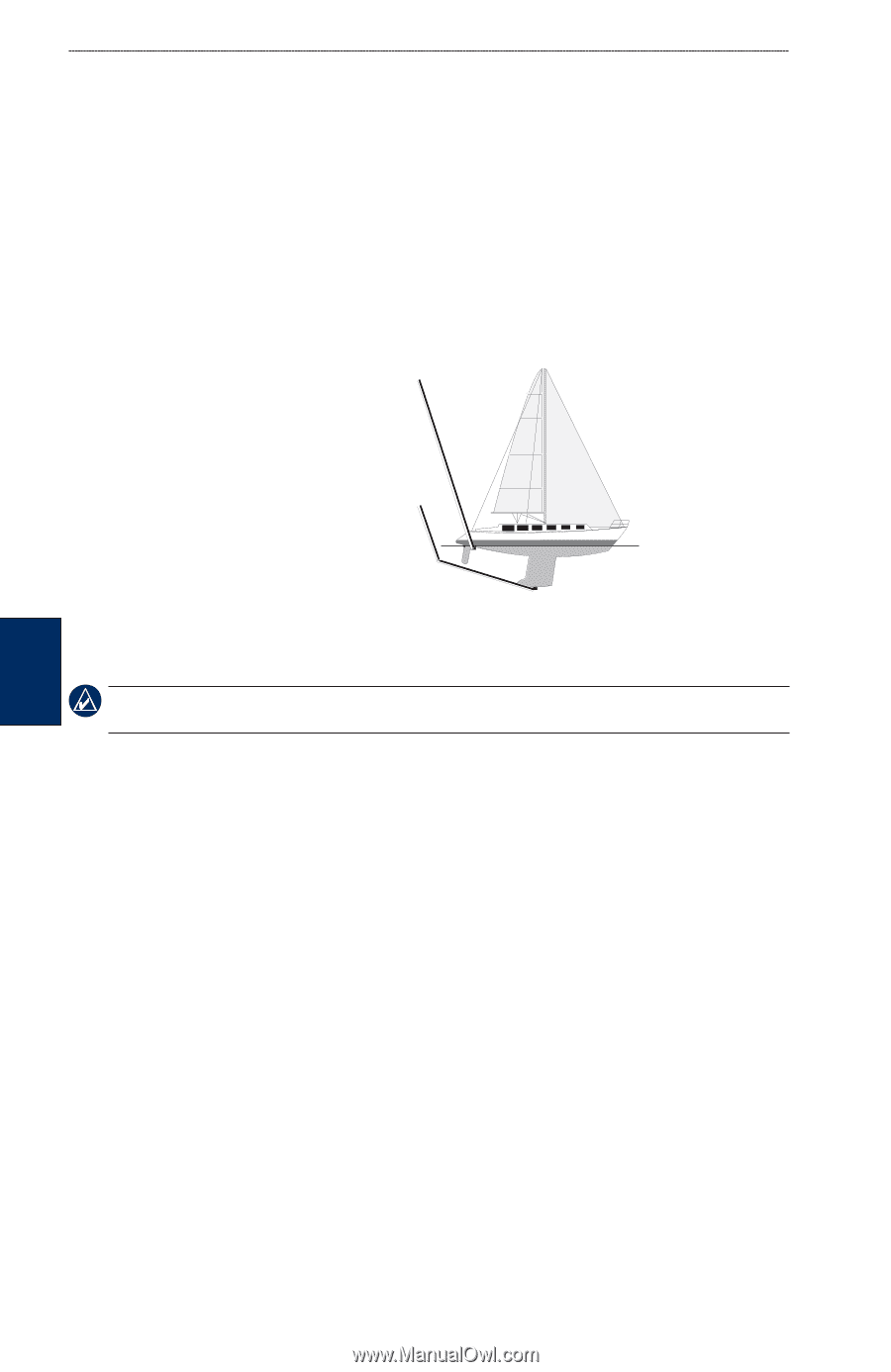
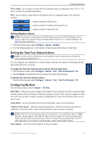
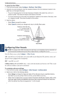
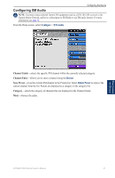
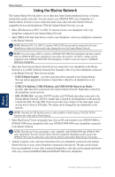
Configuring the Device To adjust the Keel Offset: 1. From the Home screen, select Configure > My Boat > Keel Offset. 2. Using the on-screen keyboard, enter the measured distance from the transducer location to the water line or to the keel of the boat. • If you are measuring down to the keel (transducer installed at the water line), enter a (+) positive number. This shows the depth at the bottom of the keel. • If you are measuring up to the water line (transducer installed on the bottom of the keel), enter a (-) negative number. This shows the depth at the surface. 3. Select an option: • Select Done to accept the number. • Select Cancel to cancel your changes and return to the My Boat screen. Transducer at the water line A (+) positive number shows depth at the bottom of the keel. Transducer at the bottom of the keel A (-) negative number shows depth at the surface. Keel Offset Configuring Other Vessels NOTE: To configure AIS or DSC information for other boats, your chartplotter must be connected to an external Automatic Identification System (AIS) or Digital Selective Calling (DSC) device. From the Home screen, select Configure > Other Vessels. AIS-turn AIS on or off. AIS alerts you to area traffic by providing boat IDs, position, course, and speed for boats equipped with a transponder. DSC-turn DSC on or off. Collision Alarm (AIS and MARPA only)-turn a safe zone around your boat on or off. This is used for collision avoidance, and can be customized. To customize safe-zone settings: 1. From the Home screen, select Configure > Other Vessels > Collision Alarm. 2. Select one or both of the following options: • Select Range to change the measured radius of the safe-zone ring to a specified distance, from 500 ft. to 2.0 nm (or from 150 m to 3.0 km, or from 500 ft. to 2.0 mi.). • Select Time To (Safe Zone) to sound an alarm if Automatic Identification System (AIS) or Mini Automatic Radar Plotting Aid (MARPA) determines that a target will intersect the Safe Zone within the defined time interval (ranging from 1 to 24 minutes). • Configuring the Device 40 GPSMAP 4000 Series Owner's Manual
-
 1
1 -
2
-
3
-
4
-
5
-
6
-
7
-
8
-
9
-
10
-
11
-
12
-
13
-
14
-
15
-
16
-
17
-
18
-
19
-
20
-
21
-
22
-
23
-
24
-
25
-
26
-
27
-
28
-
29
-
30
-
31
-
32
-
33
-
34
-
35
-
36
-
37
-
38
-
 39
39 -
 40
40 -
 41
41 -
 42
42 -
 43
43 -
 44
44 -
 45
45 -
 46
46 -
 47
47 -
 48
48 -
 49
49 -
50
-
51
-
52
-
53
-
54
-
55
-
56
-
57
-
58
-
59
-
60
-
61
-
62
-
63
-
64
-
65
-
66
-
67
-
68
-
69
-
70
-
71
-
72
-
73
-
74
-
75
-
76
-
77
-
78
-
79
-
80
-
81
-
82
-
83
-
84
 |
 |