Garmin GPSMAP 536s Owner's Manual - Page 27
Viewing Current-station Information, Detailed Road and POI Data, Using Automatic Guidance - reviews
 |
View all Garmin GPSMAP 536s manuals
Add to My Manuals
Save this manual to your list of manuals |
Page 27 highlights
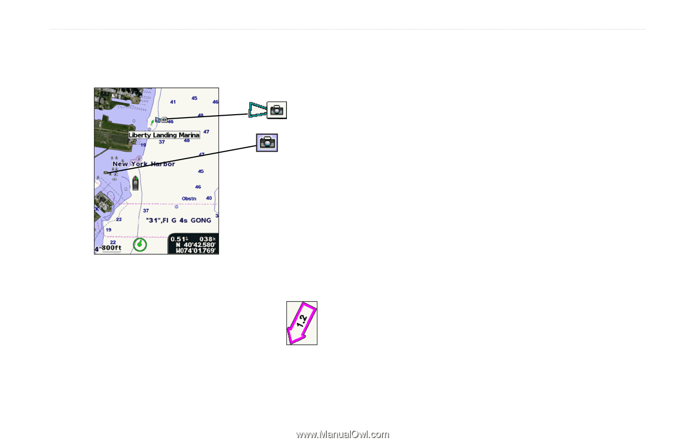
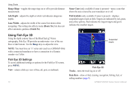
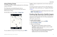
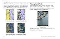
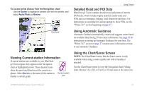
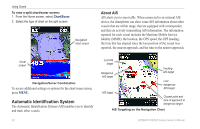
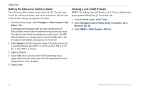
To access aerial photos from the Navigation chart: Use the Rocker to highlight a camera icon with the pointer, and select Aerial Photo or Review. Perspective Overhead Viewing Current-station Information If current stations are available in your BlueChart g2 Vision region, they appear on the Navigation chart as highlighted arrows. These detailed icons show the speed and direction of the current at a glance. Select Review or the name of the station to Current-station display a current graph. icon Using Charts Detailed Road and POI Data BlueChart g2 Vision contains detailed road and points of interest (POI) data, which includes highly detailed coastal roads and POIs such as restaurants, lodging, local attractions and more. For instructions on searching for, and navigating to, these POIs, see the "Where To?" section beginning on page 27. Using Automatic Guidance Automatic Guidance automatically creates and suggests routes based on available BlueChart g2 Vision chart information. See page 43 for instructions on setting up Automatic Guidance for your boat. The "Where To?" section on page 27 contains more information on how to use Automatic Guidance. Using the Chart/Sonar Screen Note: The Chart/Sonar screen, like the Sonar screen, is only available when using a sonar-capable unit with a transducer attached. Use the Chart/Sonar screen to view the Navigation chart, Fishing chart, Mariner's Eye 3D, or Fish Eye 3D and sonar at the same time. GPSMAP 400/500 Series Owner's Manual 21
-
 1
1 -
2
-
3
-
4
-
5
-
6
-
7
-
8
-
9
-
10
-
11
-
12
-
13
-
14
-
15
-
16
-
17
-
18
-
19
-
20
-
21
-
 22
22 -
 23
23 -
 24
24 -
 25
25 -
 26
26 -
 27
27 -
 28
28 -
 29
29 -
 30
30 -
 31
31 -
 32
32 -
33
-
34
-
35
-
36
-
37
-
38
-
39
-
40
-
41
-
42
-
43
-
44
-
45
-
46
-
47
-
48
-
49
-
50
-
51
-
52
-
53
-
54
-
55
-
56
-
57
-
58
-
59
-
60
-
61
-
62
-
63
-
64
-
65
-
66
-
67
-
68
-
69
-
70
-
71
-
72
-
73
-
74
-
75
-
76
-
77
-
78
-
79
-
80
-
81
-
82
-
83
-
84
-
85
-
86
-
87
-
88
 |
 |