Garmin ECHOMAP Plus 44cv Owners Manual PDF - Page 11
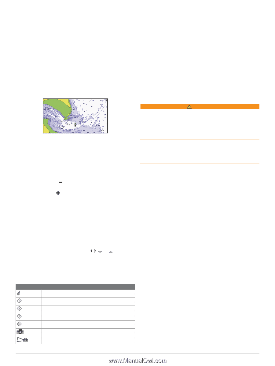
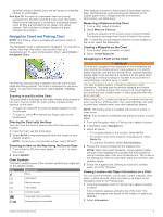
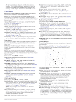
Navigation Chart and Fishing Chart
 |
View all Garmin ECHOMAP Plus 44cv manuals
Add to My Manuals
Save this manual to your list of manuals |
Page 11 highlights
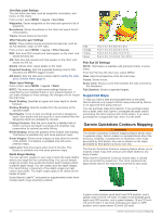
and when trying to identify entry and exit routes in unfamiliar harbors or anchorages. Fish Eye 3D: Provides an underwater view that visually represents the sea floor according to the chart information. When a sonar transducer is connected, suspended targets (such as fish) are indicated by red, green, and yellow spheres. Red indicates the largest targets and green indicates the smallest. Navigation Chart and Fishing Chart NOTE: The Fishing chart is available with premium charts, in some areas. The Navigation Chart is optimized for navigation. You can plan a course, view map information, and use the chart as a navigational aid. To open the Navigation Chart, select Charts > Navigation Chart. The Fishing Chart provides a detailed view with more bottom detail and fishing content. This chart is optimized for use when fishing. To open the Fishing Chart, select Charts > Fishing Chart. Zooming In and Out of the Chart The zoom level is indicated by the scale number at the bottom of the chart. The bar under the scale number represents that distance on the chart. • To zoom out, select or pinch two fingers together on the touchscreen. • To zoom in, select or spread two fingers apart on the touchscreen. Panning the Chart with the Keys You can move the chart to view an area other than your present location. 1 From the chart, use the arrow keys. 2 Select BACK to stop panning and return the screen to your present location. NOTE: To pan from a combination screen, select SELECT. Selecting an Item on the Map Using the Device Keys 1 From a chart or 3D chart view, select , , , or to move the cursor. 2 Select SELECT. Chart Symbols This table contains some of the common symbols you might see on the detailed charts. Icon Description Buoy Information Marine services Tide station Current station Overhead photo available Perspective photo available Other features common to most charts include depth contour lines, intertidal zones, spot soundings (as depicted on the original paper chart), navigational aids and symbols, obstructions, and cable areas. Measuring a Distance on the Chart 1 From a chart, select a location. 2 Select Measure Distance. A push pin appears on the screen at your present location. The distance and angle from the pin is listed in the corner. TIP: To reset the pin and measure from the current location of the cursor, select Set Reference. Creating a Waypoint on the Chart 1 From a chart, select a location or object. 2 Select Create Waypoint. Navigating to a Point on the Chart WARNING All route and navigation lines displayed on the chartplotter are only intended to provide general route guidance or to identify proper channels, and are not intended to be precisely followed. Always defer to the navaids and conditions on the water when navigating to avoid groundings or hazards that could result in vessel damage, personal injury, or death. The Auto Guidance feature is based on electronic chart information. That data does not ensure obstacle and bottom clearance. Carefully compare the course to all visual sightings, and avoid any land, shallow water, or other obstacles that may be in your path. When using Go To, a direct course and a corrected course may pass over land or shallow water. Use visual sightings, and steer to avoid land, shallow water, and other dangerous objects. NOTE: The Fishing chart is available with premium charts, in some areas. NOTE: Auto Guidance is available with premium charts, in some areas. 1 From the Navigation chart or Fishing chart, select a location. 2 If necessary, select Navigate To. 3 Select an option: • To navigate directly to the location, select Go To. • To create a route to the location, including turns, select Route To. • To use Auto Guidance, select Auto Guidance. 4 Review the course indicated by the magenta line. NOTE: When using Auto Guidance, a gray segment within any part of the magenta line indicates that Auto Guidance cannot calculate part of the Auto Guidance line. This is due to the settings for minimum safe water depth and minimum safe obstacle height. 5 Follow the magenta line, steering to avoid land, shallow water, and other obstacles. Viewing Location and Object Information on a Chart You can view information, such as tide, current, celestial, chart notes, or local services, about a location or an object on the Navigation chart or the Fishing chart. 1 From the Navigation chart or Fishing chart, select a location or object. A list of options appears along the top of the chart. The options that appear vary based on the location or object you selected. 2 Select Information. Charts and 3D Chart Views 5
-
 1
1 -
2
-
3
-
4
-
5
-
 6
6 -
 7
7 -
 8
8 -
 9
9 -
 10
10 -
 11
11 -
 12
12 -
 13
13 -
 14
14 -
 15
15 -
 16
16 -
17
-
18
-
19
-
20
-
21
-
22
-
23
-
24
-
25
-
26
-
27
-
28
-
29
-
30
-
31
-
32
-
33
-
34
-
35
-
36
-
37
-
38
-
39
-
40
-
41
-
42
-
43
-
44
-
45
-
46
-
47
-
48
-
49
-
50
-
51
-
52
-
53
-
54
 |
 |