Garmin GPSMAP 546 Owner's Manual - Page 25
Using Fishing Charts, Enabling High Resolution Satellite Imagery, Charts, Fishing Chart
 |
UPC - 753759096151
View all Garmin GPSMAP 546 manuals
Add to My Manuals
Save this manual to your list of manuals |
Page 25 highlights
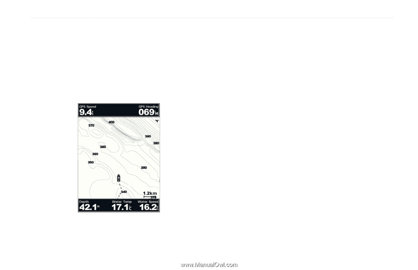
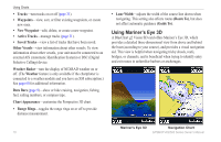
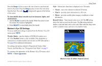
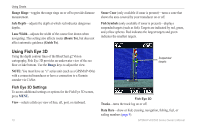
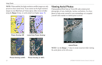
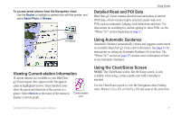
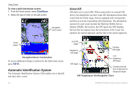
Using Fishing Charts Use the Fishing chart for a detailed, unobstructed view of the bottom contours on the chart. The Fishing chart uses detailed bathymetric data on a preprogrammed BlueChart g2 Vision SD card, and is best for offshore deep-sea fishing. From the Home screen, select Charts > Fishing Chart. To access additional settings from the Fishing chart, press MENU. Using Charts Navaids-displays navigational aids, such as beacons, lights, and obstructions. For settings and options related to Full Screen Map, Waypoints & Tracks, Other Vessels, and Data Bars, see "Navigation Chart Menu" on page 9. To customize the appearance of the Fishing Chart screen, select MENU > Chart Setup (page 12). Enabling High Resolution Satellite Imagery You can overlay high-resolution satellite images on the land, sea, or both portions of the Navigation chart when using a preprogrammed BlueChart g2 Vision SD card. To enable satellite imagery: 1. While viewing the Navigation chart, press MENU. 2. Select Chart Setup > Photos. 3. Select one of the following: • Off-standard chart information is shown on the map. • Land Only-standard chart information is shown on water with photos overlaying the land. • On-photos overlay both the water and the land at a specified opacity. The higher you set the percentage, the more the satellite photos will cover both land and water. GPSMAP 400/500 Series Owner's Manual 19
-
 1
1 -
2
-
3
-
4
-
5
-
6
-
7
-
8
-
9
-
10
-
11
-
12
-
13
-
14
-
15
-
16
-
17
-
18
-
19
-
 20
20 -
 21
21 -
 22
22 -
 23
23 -
 24
24 -
 25
25 -
 26
26 -
 27
27 -
 28
28 -
 29
29 -
 30
30 -
31
-
32
-
33
-
34
-
35
-
36
-
37
-
38
-
39
-
40
-
41
-
42
-
43
-
44
-
45
-
46
-
47
-
48
-
49
-
50
-
51
-
52
-
53
-
54
-
55
-
56
-
57
-
58
-
59
-
60
-
61
-
62
-
63
-
64
-
65
-
66
-
67
-
68
-
69
-
70
-
71
-
72
-
73
-
74
-
75
-
76
-
77
-
78
-
79
-
80
-
81
-
82
-
83
-
84
-
85
-
86
-
87
-
88
 |
 |