Garmin Rino 655t Owner's Manual - Page 34
Position Format Settings, Heading Settings, Setup, POsitiON FOrmat, Map Datum, Map SpherOid, HeadiNg - turn by turn
 |
View all Garmin Rino 655t manuals
Add to My Manuals
Save this manual to your list of manuals |
Page 34 highlights
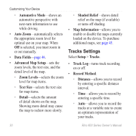
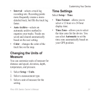
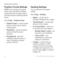
Customizing Your Device Position Format Settings Note: Do not change the position format or the map datum coordinate system unless you are using a map or chart that specifies a different position format. Select Setup > Position Format. • Position Format-sets the position format in which a given location reading appears. • Map Datum-sets the coordinate system on which the map is structured. • Map Spheroid-shows the coordinate system the device is using. The default coordinate system is WGS 84. Heading Settings You can customize the compass settings. Select Setup > Heading. • Display-sets the type of directional heading on the compass. • North Reference-sets the north reference of the compass. • Go To Line/Pointer-allows you to select how the course appears. ◦◦ Bearing (Small or Large)-the direction to your destination. ◦◦ Course (CDI)-your relationship to a course line leading to a destination. • Compass-switches from an electronic compass to a GPS compass when you are traveling at a higher rate of speed for a set period of time (Auto), or turns the compass off. 32 Rino 600 Series Owner's Manual
-
 1
1 -
2
-
3
-
4
-
5
-
6
-
7
-
8
-
9
-
10
-
11
-
12
-
13
-
14
-
15
-
16
-
17
-
18
-
19
-
20
-
21
-
22
-
23
-
24
-
25
-
26
-
27
-
28
-
 29
29 -
 30
30 -
 31
31 -
 32
32 -
 33
33 -
 34
34 -
 35
35 -
 36
36 -
 37
37 -
 38
38 -
 39
39 -
40
-
41
-
42
-
43
-
44
-
45
-
46
-
47
-
48
-
49
-
50
-
51
-
52
-
53
-
54
-
55
-
56
-
57
-
58
-
59
-
60
 |
 |