Lowrance HDS-12 Gen3 Operators Manual US - Page 33
: Charts, The Chart panel, Description
 |
View all Lowrance HDS-12 Gen3 manuals
Add to My Manuals
Save this manual to your list of manuals |
Page 33 highlights
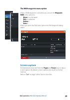
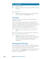
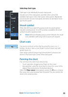
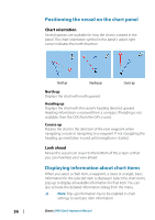
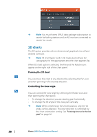
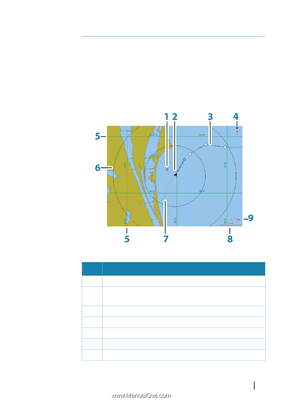
4 Charts The chart function displays your vessel's position relative to land and other chart objects. On the chart panel you can plan and navigate routes, place waypoints and display AIS targets. You can overlay a radar image, a StructureScan image or weather information. The Chart panel Key Description 1 Waypoint* 2 Vessel with Heading extension line (Heading extension line is optional) 3 Route* 4 North indicator 5 Grid lines* 6 Range rings* 7 Trail* Charts | HDS Gen3 Operator Manual 33
-
 1
1 -
2
-
3
-
4
-
5
-
6
-
7
-
8
-
9
-
10
-
11
-
12
-
13
-
14
-
15
-
16
-
17
-
18
-
19
-
20
-
21
-
22
-
23
-
24
-
25
-
26
-
27
-
 28
28 -
 29
29 -
 30
30 -
 31
31 -
 32
32 -
 33
33 -
 34
34 -
 35
35 -
 36
36 -
 37
37 -
 38
38 -
39
-
40
-
41
-
42
-
43
-
44
-
45
-
46
-
47
-
48
-
49
-
50
-
51
-
52
-
53
-
54
-
55
-
56
-
57
-
58
-
59
-
60
-
61
-
62
-
63
-
64
-
65
-
66
-
67
-
68
-
69
-
70
-
71
-
72
-
73
-
74
-
75
-
76
-
77
-
78
-
79
-
80
-
81
-
82
-
83
-
84
-
85
-
86
-
87
-
88
-
89
-
90
-
91
-
92
-
93
-
94
-
95
-
96
-
97
-
98
-
99
-
100
-
101
-
102
-
103
-
104
-
105
-
106
-
107
-
108
-
109
-
110
-
111
-
112
-
113
-
114
-
115
-
116
-
117
-
118
-
119
-
120
-
121
-
122
-
123
-
124
-
125
-
126
-
127
-
128
-
129
-
130
-
131
-
132
-
133
-
134
-
135
-
136
-
137
-
138
-
139
-
140
-
141
-
142
-
143
-
144
-
145
-
146
-
147
-
148
-
149
-
150
-
151
-
152
-
153
-
154
-
155
-
156
-
157
-
158
-
159
-
160
-
161
-
162
-
163
-
164
-
165
-
166
 |
 |
Charts
The chart function displays your vessel’s position relative to land
and other chart objects. On the chart panel you can plan and
navigate routes, place waypoints and display AIS targets. You can
overlay a radar image, a StructureScan image or weather
information.
The Chart panel
Key
Description
1
Waypoint*
2
Vessel with Heading extension line (Heading extension line
is optional)
3
Route*
4
North indicator
5
Grid lines*
6
Range rings*
7
Trail*
4
Charts
| HDS Gen3 Operator Manual
33