Nokia 002L5G7 User Guide - Page 99
Display indicators, Find locations, Find an address
 |
View all Nokia 002L5G7 manuals
Add to My Manuals
Save this manual to your list of manuals |
Page 99 highlights
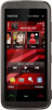
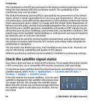
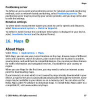
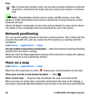
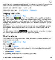
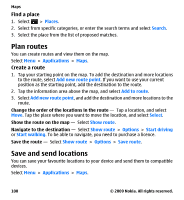
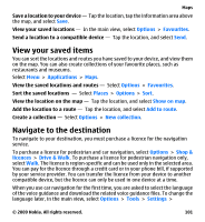
Maps maps that have already been downloaded. The maps are automatically saved in the device memory or on a compatible memory card, if available in your device. Zoom in and out on the map - Select + and -. Change the map type - Select Options > Map mode. Display indicators Select Menu > Applications > Maps. The GPS indicator shows the availability of the satellite signals. One bar is one satellite. When the device tries to find satellite signals, the bar is yellow. When the device receives enough data from the satellites for GPS to calculate your location, the bar turns green. The more green bars, the more reliable the location calculation. Initially, your device must receive signals from at least four satellites to calculate your location. After the initial calculation, signals from three satellites may be enough. The data transfer indicator shows the internet connection used, and the amount of data transferred since the application started. Find locations You can search for specific addresses, points of interest, and other locations, such as hotels and restaurants. Select Menu > Applications > Maps. Find an address 1. Select > Address. 2. Start entering the required information. The fields marked with an asterix (*) are mandatory. 3. Select Options > Search. 4. Select the address from the list of proposed matches. © 2009 Nokia. All rights reserved. 99
-
 1
1 -
2
-
3
-
4
-
5
-
6
-
7
-
8
-
9
-
10
-
11
-
12
-
13
-
14
-
15
-
16
-
17
-
18
-
19
-
20
-
21
-
22
-
23
-
24
-
25
-
26
-
27
-
28
-
29
-
30
-
31
-
32
-
33
-
34
-
35
-
36
-
37
-
38
-
39
-
40
-
41
-
42
-
43
-
44
-
45
-
46
-
47
-
48
-
49
-
50
-
51
-
52
-
53
-
54
-
55
-
56
-
57
-
58
-
59
-
60
-
61
-
62
-
63
-
64
-
65
-
66
-
67
-
68
-
69
-
70
-
71
-
72
-
73
-
74
-
75
-
76
-
77
-
78
-
79
-
80
-
81
-
82
-
83
-
84
-
85
-
86
-
87
-
88
-
89
-
90
-
91
-
92
-
93
-
 94
94 -
 95
95 -
 96
96 -
 97
97 -
 98
98 -
 99
99 -
 100
100 -
 101
101 -
 102
102 -
 103
103 -
 104
104 -
105
-
106
-
107
-
108
-
109
-
110
-
111
-
112
-
113
-
114
-
115
-
116
-
117
-
118
-
119
-
120
-
121
-
122
-
123
-
124
-
125
-
126
-
127
-
128
-
129
-
130
-
131
-
132
-
133
-
134
-
135
-
136
-
137
-
138
-
139
-
140
-
141
-
142
-
143
-
144
-
145
-
146
-
147
-
148
-
149
-
150
-
151
-
152
-
153
-
154
-
155
-
156
-
157
-
158
-
159
 |
 |
