Garmin Astro Astro and DC 40 Owner's Manual - Page 30
Tracks, Advanced, GPS Applications, Altimeter, Reset, Apply, Calibrate Altimeter, Setup
 |
UPC - 753759063931
View all Garmin Astro manuals
Add to My Manuals
Save this manual to your list of manuals |
Page 30 highlights
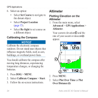
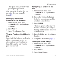
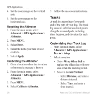
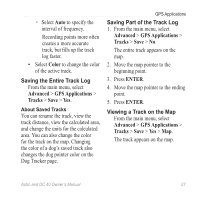
GPS Applications 4. Set the zoom range on the vertical axis. 5. Set the zoom range on the horizontal axis. Resetting the Altimeter 1. From the main menu, select Advanced > GPS Applications > Altimeter. 2. Press MENU. 3. Select Reset. 4. Select the items you want to reset or delete. 5. Select Apply. Calibrating the Altimeter 1. Go to a location where the elevation or barometric pressure is known. 2. From the main menu, select Advanced > GPS Applications > Altimeter. 3. Press MENU. 4. Select Calibrate Altimeter. 5. Follow the on-screen instructions. Tracks A track is a recording of your path and of the path of your dog. The track log contains information about points along the recorded path, including time, location, and elevation for each point. Customizing Your Track Log 1. From the main menu, select Advanced > GPS Applications > Tracks > Setup. 2. Select an option: • Select Wrap When Full to replace the oldest data with new data when the track log is full. • Select a Record Method: ◦ Select Distance, and enter a distance interval. ◦ Select Time, and enter a time interval. 26 Astro and DC 40 Owner's Manual
-
 1
1 -
2
-
3
-
4
-
5
-
6
-
7
-
8
-
9
-
10
-
11
-
12
-
13
-
14
-
15
-
16
-
17
-
18
-
19
-
20
-
21
-
22
-
23
-
24
-
 25
25 -
 26
26 -
 27
27 -
 28
28 -
 29
29 -
 30
30 -
 31
31 -
 32
32 -
 33
33 -
 34
34 -
 35
35 -
36
-
37
-
38
-
39
-
40
-
41
-
42
-
43
-
44
-
45
-
46
-
47
-
48
-
49
-
50
-
51
-
52
-
53
-
54
-
55
-
56
-
57
-
58
-
59
-
60
-
61
-
62
-
63
-
64
-
65
-
66
-
67
-
68
-
69
-
70
-
71
-
72
-
73
-
74
-
75
-
76
-
77
-
78
-
79
-
80
-
81
-
82
-
83
-
84
 |
 |
