Garmin eTrex Summit HC Owner's Manual - Page 23
Track Profiles, To view a track profile
 |
UPC - 753759072919
View all Garmin eTrex Summit HC manuals
Add to My Manuals
Save this manual to your list of manuals |
Page 23 highlights
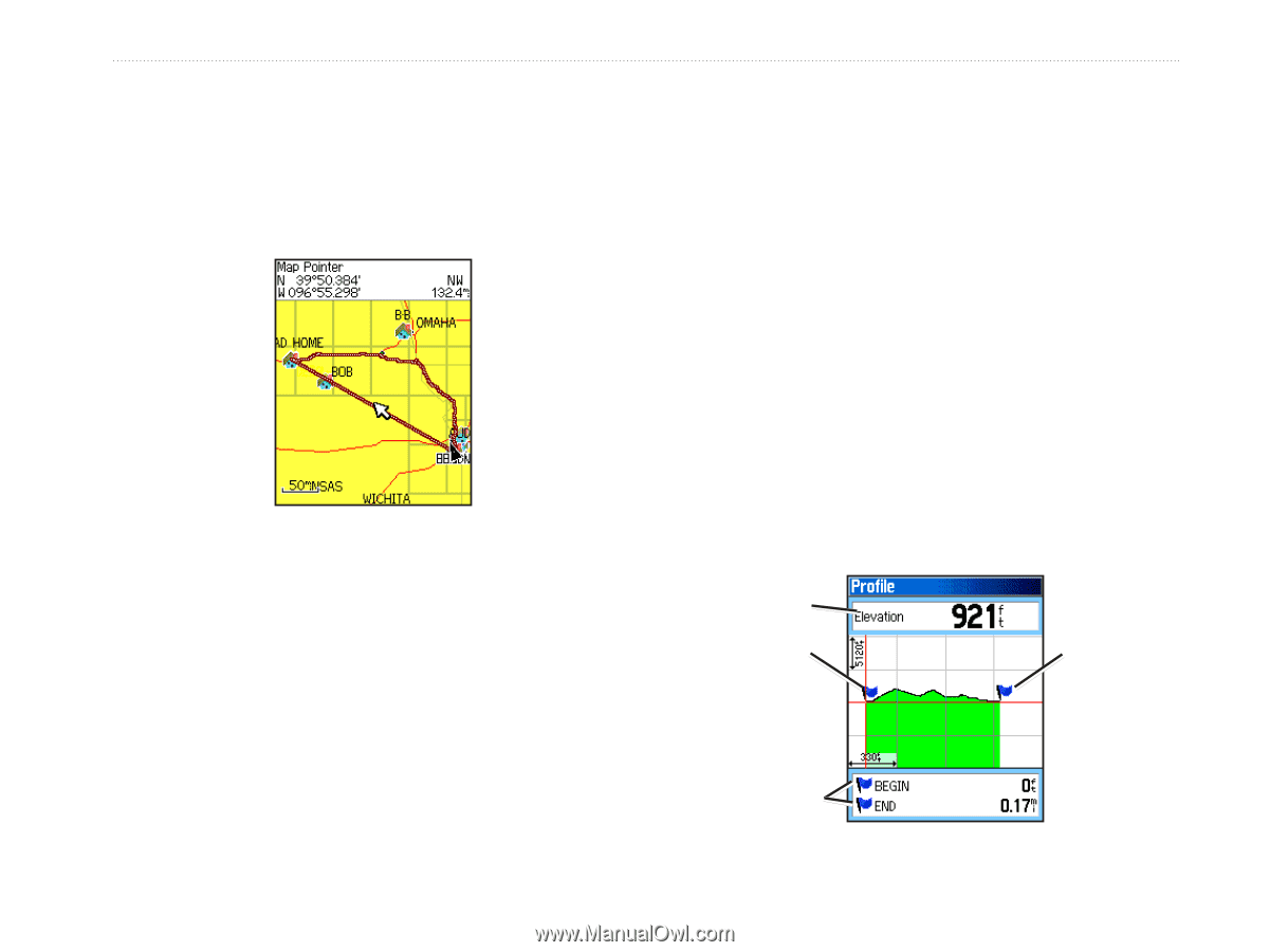
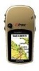
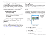
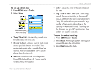
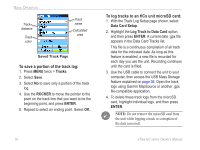
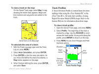
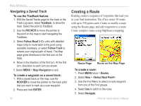
Basic Operation To view a track on the map: On the Saved Track page, select Map. A map showing the entire track appears. Begin and End markers and waypoints are added to the track. Track Profiles A Track Elevation Profile is created from elevation readings when using the eTrex Summit HC or the eTrex Vista HCx. All units show profiles, if using Digital Elevation Model (DEM) maps. Refer to the Garmin Web site for information about these maps. To view a track profile: 1. Open the Saved Track page, and press MENU. 2. Select Profile. The beginning of the track is marked by a flag. Use the ROCKER to scroll across the track profile. At any point along the profile, press ENTER to show it on the map. Saved track on the Map page To calculate the area of a track: 1. With the Track Log page open and the Track Log on, press MENU. 2. Select Area Calculation, and press ENTER. 3. Press Enter to start the area calculation. As you move and define the area's boundaries, a Stop button appears on the page. 4. When finished defining the area, press ENTER, and select Save. 3. Press MENU to use Zoom Ranges and Hide Symbols options. Elevation Begin marker End marker Distance from begin and end points Track Profile Page eTrex HC series Owner's Manual 19
-
 1
1 -
2
-
3
-
4
-
5
-
6
-
7
-
8
-
9
-
10
-
11
-
12
-
13
-
14
-
15
-
16
-
17
-
 18
18 -
 19
19 -
 20
20 -
 21
21 -
 22
22 -
 23
23 -
 24
24 -
 25
25 -
 26
26 -
 27
27 -
 28
28 -
29
-
30
-
31
-
32
-
33
-
34
-
35
-
36
-
37
-
38
-
39
-
40
-
41
-
42
-
43
-
44
-
45
-
46
-
47
-
48
-
49
-
50
-
51
-
52
-
53
-
54
 |
 |