Lowrance HDS-12 Carbon Operators Manual EN - Page 34
Charts, The Chart panel, North indicator
 |
View all Lowrance HDS-12 Carbon manuals
Add to My Manuals
Save this manual to your list of manuals |
Page 34 highlights
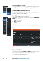
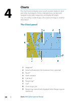
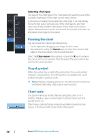
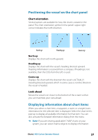
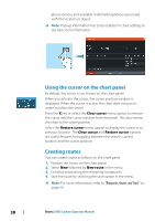
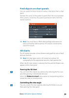
4 Charts The chart function displays your vessel's position relative to land and other chart objects. On the chart panel you can plan and navigate routes, place waypoints, and display AIS targets. You can overlay a radar image, a StructureScan image or weather information. The Chart panel 1 Waypoint* 2 Vessel with extension line (extension line is optional) 3 Route* 4 North indicator 5 Grid lines* 6 Range rings* 7 Trail* 8 Chart range scale 9 Range rings interval (only displayed when Range rings are turned on) 34 Charts | HDS Carbon Operator Manual
-
 1
1 -
2
-
3
-
4
-
5
-
6
-
7
-
8
-
9
-
10
-
11
-
12
-
13
-
14
-
15
-
16
-
17
-
18
-
19
-
20
-
21
-
22
-
23
-
24
-
25
-
26
-
27
-
28
-
 29
29 -
 30
30 -
 31
31 -
 32
32 -
 33
33 -
 34
34 -
 35
35 -
 36
36 -
 37
37 -
 38
38 -
 39
39 -
40
-
41
-
42
-
43
-
44
-
45
-
46
-
47
-
48
-
49
-
50
-
51
-
52
-
53
-
54
-
55
-
56
-
57
-
58
-
59
-
60
-
61
-
62
-
63
-
64
-
65
-
66
-
67
-
68
-
69
-
70
-
71
-
72
-
73
-
74
-
75
-
76
-
77
-
78
-
79
-
80
-
81
-
82
-
83
-
84
-
85
-
86
-
87
-
88
-
89
-
90
-
91
-
92
-
93
-
94
-
95
-
96
-
97
-
98
-
99
-
100
-
101
-
102
-
103
-
104
-
105
-
106
-
107
-
108
-
109
-
110
-
111
-
112
-
113
-
114
-
115
-
116
-
117
-
118
-
119
-
120
-
121
-
122
-
123
-
124
-
125
-
126
-
127
-
128
-
129
-
130
-
131
-
132
-
133
-
134
-
135
-
136
-
137
-
138
-
139
-
140
-
141
-
142
-
143
-
144
-
145
-
146
-
147
-
148
-
149
-
150
-
151
-
152
-
153
-
154
-
155
-
156
-
157
-
158
-
159
-
160
-
161
-
162
-
163
-
164
-
165
-
166
-
167
-
168
-
169
-
170
-
171
-
172
-
173
-
174
-
175
-
176
-
177
-
178
-
179
-
180
-
181
-
182
-
183
-
184
-
185
-
186
-
187
-
188
-
189
-
190
-
191
-
192
-
193
-
194
-
195
-
196
-
197
-
198
 |
 |
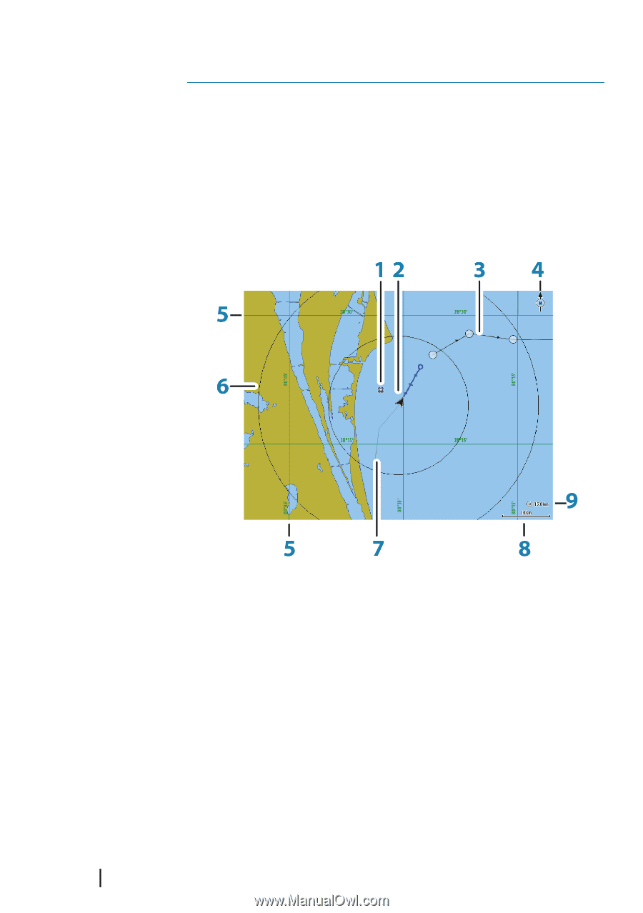
Charts
The chart function displays your vessel’s position relative to land
and other chart objects. On the chart panel you can plan and
navigate routes, place waypoints, and display AIS targets.
You can overlay a radar image, a StructureScan image or weather
information.
The Chart panel
1
Waypoint*
2
Vessel with extension line (extension line is optional)
3
Route*
4
North indicator
5
Grid lines*
6
Range rings*
7
Trail*
8
Chart range scale
9
Range rings interval (only displayed when Range rings are
turned on)
4
34
Charts
| HDS Carbon Operator Manual