Magellan MapSend TOPO France Quick Reference Guide - Page 8
When unchecked the Map Viewer
 |
UPC - 763357114843
View all Magellan MapSend TOPO France manuals
Add to My Manuals
Save this manual to your list of manuals |
Page 8 highlights
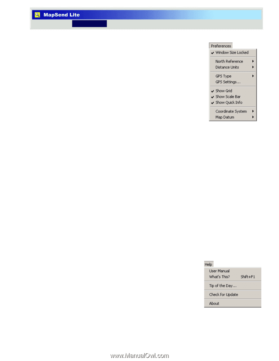
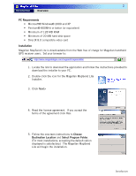
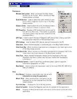
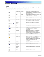
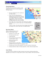
6 Introduction Overview Preferences Window Size Locked When unchecked the Map Viewer window can be resized. When checked the Map Viewer window is locked. North Reference Used to select the north reference used (true north or magnetic) for the map in the Map Viewer window. Distance Units Used to select the units of measure (metric, U.S., nautical + meters or nautical +feet). POI Properties Displays a POI window that can be used to turn off or on POI icons. (This option is available only when a detail map has been loaded that has preloaded POIs.) GPS Type Used to select the type of Magellan GPS device that is being used with the application (eXplorist or Meridian/SporTrak). GPS Settings Used to detect GPS devices that are connected to the PC. Show Grid When checked displays a coordinate grid in the Map Viewer window. Show Scale Bar When checked a map scale bar is displayed in the lower right corner of the Map Viewer window. Show Quick Info When checked an information window will be displayed next to the cursor when over major objects in the Map Viewer window. Show Topo When checked topographic details will be displayed on the map. (Available only when a detail map has been loaded with topographic information.) Coordinate System Used to select the coordinate system used for waypoint information (geographic or UTM). Map Datum Used to select the map datum used for the map (WGS 84, NAD 83 or NAD 27 CONUS). Help User Manual Displays a searchable user manual with information on using the application. What's This? When selected help information can be displayed for an item selected from the Map Viewer window. Tip of the Day... Displays the Tip of the Day window. Check for Update Checks the Magellan web site for updates to this application. About Displays an About window with information on the version and build of the application. Overview
-
 1
1 -
2
-
 3
3 -
 4
4 -
 5
5 -
 6
6 -
 7
7 -
 8
8 -
 9
9 -
 10
10 -
 11
11 -
 12
12 -
 13
13 -
14
 |
 |