Nokia 5800 User Guide - Page 65
Network positioning, Move on a map, Display indicators, The GPS indicator - internet software
 |
UPC - 758478016824
View all Nokia 5800 manuals
Add to My Manuals
Save this manual to your list of manuals |
Page 65 highlights
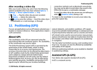
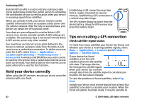
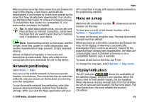
When you have an active data connection and browse the map on the display, a new map is automatically downloaded, if you browse to an area not covered by the maps that have already been downloaded. You can also use the Nokia Map Loader PC software to download maps. To install Nokia Map Loader to a compatible PC, visit www.nokia.com/maps (in English). Tip: To avoid data transfer costs, you can also use Maps without an internet connection, and browse the maps that are saved in your device or memory card, if available in your device. Note: Downloading content such as maps, satellite images, voice files, guides or traffic information may involve transmission of large amounts of data (network service). Almost all digital cartography is inaccurate and incomplete to some extent. Never rely solely on the cartography that you download for use in this device. Network positioning Select Menu > Maps. You can use the mobile network to find your current location, even indoors. This is faster but less accurate than with GPS, and you cannot use the location as a starting point for navigation. To use the mobile network for positioning, select the network-based positioning method from the device settings. When you start the Maps application and your Maps GPS connection is ready, GPS replaces mobile network as the positioning method. Move on a map When the GPS connection is active, shows your current location on the map. To view your current or last known location, select Options > My position. To move on the map, drag the map. The map is oriented towards north by default. When you have an active data connection and browse the map on the display, a new map is automatically downloaded if you scroll to an area not covered by the maps that have already been downloaded. The maps are automatically saved in the device memory or on a compatible memory card, if inserted. To zoom in and out on the map, tap + and -. To change the map type, select Options > Map mode. Display indicators The GPS indicator shows the availability of the satellite signals. One bar is one satellite. When the device tries to find satellite signals, the bar is yellow. When the device receives enough data from the satellites for GPS to calculate your location, the bar turns green. The more green bars, the more reliable the location calculation. © 2009 Nokia. All rights reserved. 65
-
 1
1 -
2
-
3
-
4
-
5
-
6
-
7
-
8
-
9
-
10
-
11
-
12
-
13
-
14
-
15
-
16
-
17
-
18
-
19
-
20
-
21
-
22
-
23
-
24
-
25
-
26
-
27
-
28
-
29
-
30
-
31
-
32
-
33
-
34
-
35
-
36
-
37
-
38
-
39
-
40
-
41
-
42
-
43
-
44
-
45
-
46
-
47
-
48
-
49
-
50
-
51
-
52
-
53
-
54
-
55
-
56
-
57
-
58
-
59
-
 60
60 -
 61
61 -
 62
62 -
 63
63 -
 64
64 -
 65
65 -
 66
66 -
 67
67 -
 68
68 -
 69
69 -
 70
70 -
71
-
72
-
73
-
74
-
75
-
76
-
77
-
78
-
79
-
80
-
81
-
82
-
83
-
84
-
85
-
86
-
87
-
88
-
89
-
90
-
91
-
92
-
93
-
94
-
95
-
96
-
97
-
98
-
99
-
100
-
101
-
102
-
103
-
104
-
105
-
106
-
107
-
108
-
109
-
110
-
111
-
112
-
113
-
114
-
115
-
116
-
117
-
118
 |
 |