Garmin GPSMAP 62st Owner's Manual - Page 16
MeasUre, Distance, SetUp Map, Map Orientation, GUidance Text, Advanced Map SetUp, AUto Zoom - settings
 |
View all Garmin GPSMAP 62st manuals
Add to My Manuals
Save this manual to your list of manuals |
Page 16 highlights
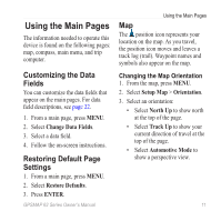
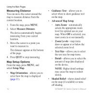
Using the Main Pages Measuring Distance You can move the cursor around the map to measure distance from the current location. 1. From the map, press MENU. 2. Select Measure Distance. The device automatically begins measuring from your current location. 3. Move the cursor to a point you want to measure to. The distance appears at the bottom of the page. 4. Press quit to stop measuring. Map Setup Options From the map, press menu, and select Setup Map. • Map Orientation-allows you to select how the map is displayed (page 11). 12 • Guidance Text-allows you to select when to show guidance text on the map. • Advanced Map Setup ◦◦ Auto Zoom-automatically selects the appropriate zoom level for optimal use on your map. When Off is selected, you must zoom in or out manually. ◦◦ Zoom Levels-map items draw or appear at or below the selected zoom level. ◦◦ Text Size-allows you to select the text size for map items. ◦◦ Detail-allows you to select the amount of map data displayed on the device. note: Higher detail settings may cause the map to redraw slowly. • Shaded Relief-shows detail relief on the map (if available) or turns off shading. GPSMAP 62 Series Owner's Manual
-
 1
1 -
2
-
3
-
4
-
5
-
6
-
7
-
8
-
9
-
10
-
 11
11 -
 12
12 -
 13
13 -
 14
14 -
 15
15 -
 16
16 -
 17
17 -
 18
18 -
 19
19 -
 20
20 -
 21
21 -
22
-
23
-
24
-
25
-
26
-
27
-
28
-
29
-
30
-
31
-
32
-
33
-
34
-
35
-
36
-
37
-
38
-
39
-
40
-
41
-
42
-
43
-
44
-
45
-
46
-
47
-
48
-
49
-
50
-
51
-
52
-
53
-
54
-
55
-
56
 |
 |