Bushnell 368150 User Manual - Page 16
Play Golf Menu
 |
View all Bushnell 368150 manuals
Add to My Manuals
Save this manual to your list of manuals |
Page 16 highlights
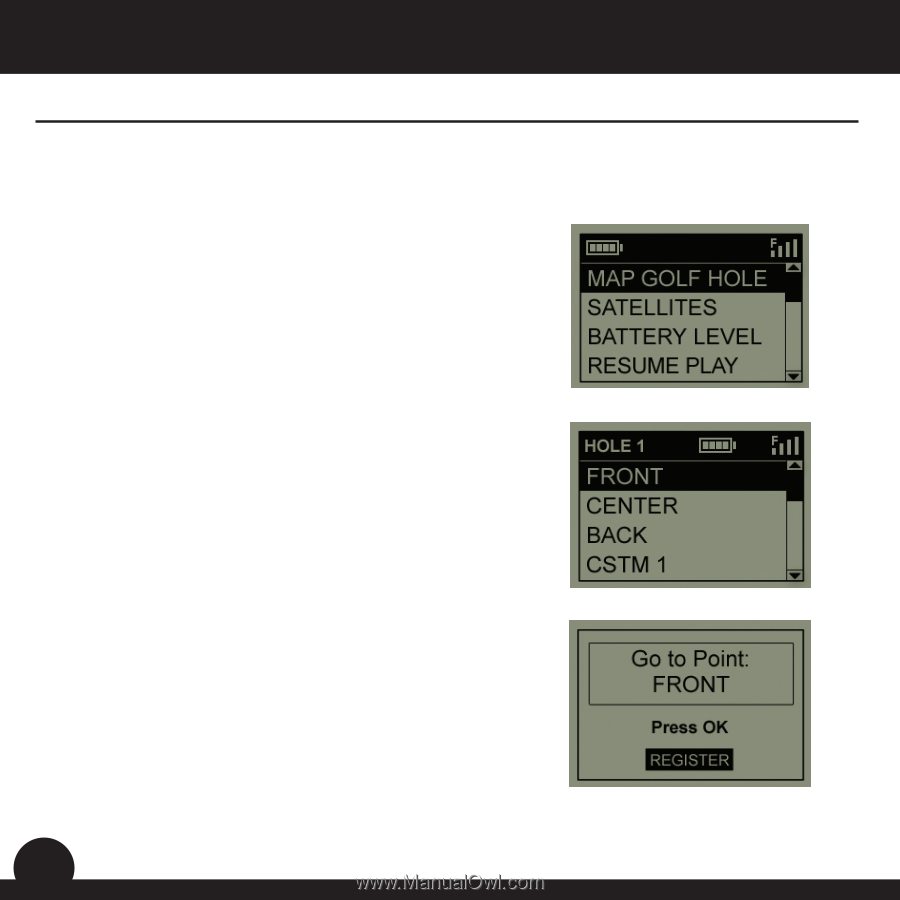
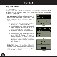
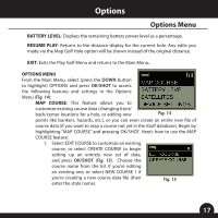
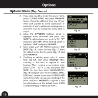
Play Golf Play Golf Menu PLAY GOLF MENU When you are in "Play Golf" Mode, on the green distance display, pressing ESC/MENU will display the Play Golf Menu (Fig. 11). Select an item from the menu and press OK/ SHOT to use or display it: MAP GOLF HOLE: This feature allows you to edit the distances given for the various points (Front, Center, Back, etc.) on the current hole/green. To use the feature: 1. Highlight the point you want to re-map from the list (Fig. 12) and press OK/SHOT. 2. Stand at the desired location and press OK/ SHOT to register the point (Fig. 13). Do not move until the process is complete. 3. Repeat this process for any other points you wish to map. 4. When finished, scroll to highlight "Save" and press OK/SHOT. The neo+ will retain this setting along with the course data, so your revised distance will be displayed instead of the original distance next time you return to play this course. Fig. 11 Fig. 12 SATELLITES: Displays the available GPS satellite relative positions and signal strength, along with an indication of the overall satellite reception quality ("STRONG", "GOOD", "WEAK"). Fig. 13 16
-
 1
1 -
2
-
3
-
4
-
5
-
6
-
7
-
8
-
9
-
10
-
 11
11 -
 12
12 -
 13
13 -
 14
14 -
 15
15 -
 16
16 -
 17
17 -
 18
18 -
 19
19 -
 20
20 -
 21
21 -
22
-
23
-
24
-
25
-
26
 |
 |