Garmin Nuvi 500 Owner's Manual - Page 41
Boating Mode, Viewing Marine Maps
 |
UPC - 753759076948
View all Garmin Nuvi 500 manuals
Add to My Manuals
Save this manual to your list of manuals |
Page 41 highlights
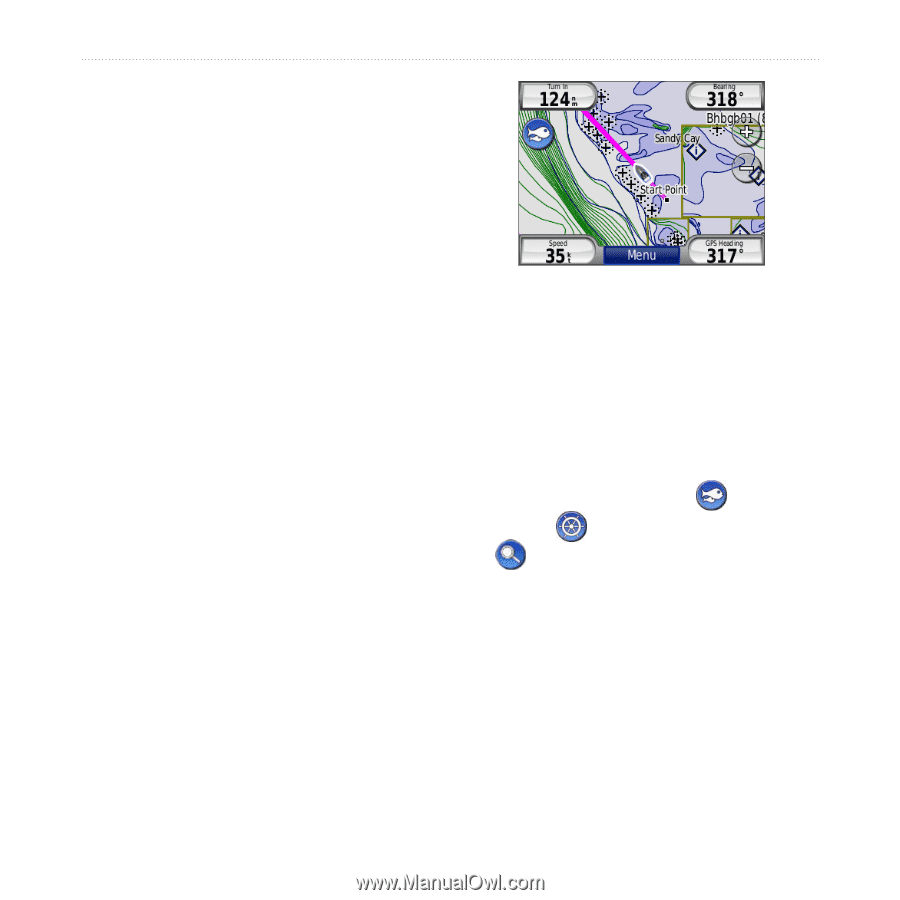
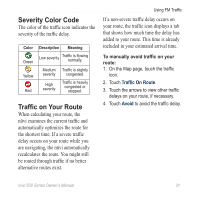
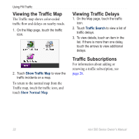
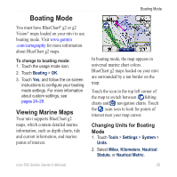
Boating Mode You must have BlueChart® g2 or g2 Vision® maps loaded on your nüvi to use boating mode. Visit www.garmin .com/cartography for more information about BlueChart g2 maps. To change to boating mode: 1. Touch the usage mode icon. 2. Touch Boating > OK. 3. Touch Yes, and follow the on‑screen instructions to configure your boating mode settings. For more information about custom settings, see pages 24-29. Viewing Marine Maps Your nüvi supports BlueChart g2 maps, which contain detailed marine information, such as depth charts, tide and current information, and marine points of interest. Boating Mode In boating mode, the map appears in universal marine chart colors. BlueChart g2 maps loaded on your nüvi are surrounded by a tan border on the map. Touch the icon in the top left corner of the map to switch between fishing charts and navigation charts. Touch the scan icon to look for points of interest near your map cursor. Changing Units for Boating Mode 1. Touch Tools > Settings > System > Units. 2. Select Miles, Kilometers, Nautical Statute, or Nautical Metric. nϋvi 500 Series Owner's Manual 35
-
 1
1 -
2
-
3
-
4
-
5
-
6
-
7
-
8
-
9
-
10
-
11
-
12
-
13
-
14
-
15
-
16
-
17
-
18
-
19
-
20
-
21
-
22
-
23
-
24
-
25
-
26
-
27
-
28
-
29
-
30
-
31
-
32
-
33
-
34
-
35
-
 36
36 -
 37
37 -
 38
38 -
 39
39 -
 40
40 -
 41
41 -
 42
42 -
 43
43 -
 44
44 -
 45
45 -
 46
46 -
47
-
48
-
49
-
50
-
51
-
52
-
53
-
54
-
55
-
56
-
57
-
58
 |
 |