Garmin Nuvi 500 Owner's Manual - Page 42
Finding Marine Points, Viewing Tide Information, Viewing Marine Currents, More Information, Where To?
 |
UPC - 753759076948
View all Garmin Nuvi 500 manuals
Add to My Manuals
Save this manual to your list of manuals |
Page 42 highlights
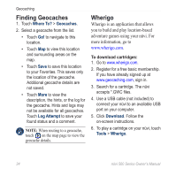
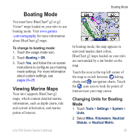
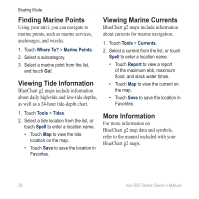
Boating Mode Finding Marine Points Using your nüvi, you can navigate to marine points, such as marine services, anchorages, and wrecks. 1. Touch Where To? > Marine Points. 2. Select a subcategory. 3. Select a marine point from the list, and touch Go!. Viewing Tide Information BlueChart g2 maps include information about daily high‑tide and low‑tide depths, as well as a 24‑hour tide‑depth chart. Viewing Marine Currents BlueChart g2 maps include information about currents for marine navigation. 1. Touch Tools > Currents. 2. Select a current from the list, or touch Spell to enter a location name. • Touch Report to view a report of the maximum ebb, maximum flood, and slack water times. • Touch Map to view the current on the map. • Touch Save to save the location in Favorites. 1. Touch Tools > Tides. 2. Select a tide location from the list, or touch Spell to enter a location name. • Touch Map to view the tide location on the map. • Touch Save to save the location in Favorites. More Information For more information on BlueChart g2 map data and symbols, refer to the manual included with your BlueChart g2 maps. 36 nϋvi 500 Series Owner's Manual
-
 1
1 -
2
-
3
-
4
-
5
-
6
-
7
-
8
-
9
-
10
-
11
-
12
-
13
-
14
-
15
-
16
-
17
-
18
-
19
-
20
-
21
-
22
-
23
-
24
-
25
-
26
-
27
-
28
-
29
-
30
-
31
-
32
-
33
-
34
-
35
-
36
-
 37
37 -
 38
38 -
 39
39 -
 40
40 -
 41
41 -
 42
42 -
 43
43 -
 44
44 -
 45
45 -
 46
46 -
 47
47 -
48
-
49
-
50
-
51
-
52
-
53
-
54
-
55
-
56
-
57
-
58
 |
 |
