Garmin eTrex Legend H Owner's Manual - Page 18
Using the Find Menu, Projecting a Waypoint - geocaching
 |
UPC - 753759084653
View all Garmin eTrex Legend H manuals
Add to My Manuals
Save this manual to your list of manuals |
Page 18 highlights
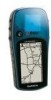
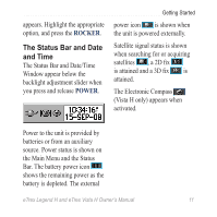
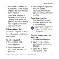
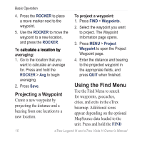
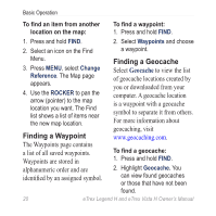
Basic Operation 4. Press the ROCKER to place a move marker next to the waypoint. 5. Use the ROCKER to move the waypoint to a new location, and press the ROCKER. To c�a��lc��u�l�a�t�e��a��l�o�c�a��t�io��n��b�y� averaging: 1. Go to the location that you want to calculate an average for. Press and hold the ROCKER > Avg to begin averaging. 2. Press Save. Projecting a Waypoint Create a new waypoint by projecting the distance and a bearing from one location to a new location. To project a waypoint: 1. Press FIND > Waypoints. 2. Select the waypoint you want to project. The Waypoint Information page opens. 3. Press MENU > Project Waypoint to open the Project Waypoint page. 4. Enter the distance and bearing to the projected waypoint in the appropriate fields, and press QUIT when finished.� Using the Find Menu Use the Find Menu to search for waypoints, geocaches, cities, and exits in the eTrex basemap. Additional icons appear depending on the optional MapSource data loaded to the unit. Press and hold the FIND 16 eTrex Legend H and eTrex Vista H Owner's Manual
-
 1
1 -
2
-
3
-
4
-
5
-
6
-
7
-
8
-
9
-
10
-
11
-
12
-
 13
13 -
 14
14 -
 15
15 -
 16
16 -
 17
17 -
 18
18 -
 19
19 -
 20
20 -
 21
21 -
 22
22 -
 23
23 -
24
-
25
-
26
-
27
-
28
-
29
-
30
-
31
-
32
-
33
-
34
-
35
-
36
-
37
-
38
-
39
-
40
-
41
-
42
-
43
-
44
-
45
-
46
-
47
-
48
-
49
-
50
-
51
-
52
-
53
-
54
-
55
-
56
-
57
-
58
-
59
-
60
-
61
-
62
-
63
-
64
-
65
-
66
-
67
-
68
 |
 |