Garmin eTrex Legend H Owner's Manual - Page 44
Plot Over Time or, Distance, View Pressure or, Elevation Plots, Zoom Ranges, Change Data Fields, Reset
 |
UPC - 753759084653
View all Garmin eTrex Legend H manuals
Add to My Manuals
Save this manual to your list of manuals |
Page 44 highlights
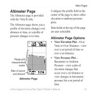
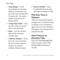
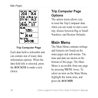
Main Pages • Zoom Ranges-set the Zoom Ranges for elevation, distance, or time when you show the View Elevation Plot. Customize the View option displays using the Zoom Ranges option. • Change Data Fields-select the type of data you want to show in the data fields. • Reset-reset the elevation data and the maximum elevation data. • Calibrate Altimeter-if you know the correct elevation for your location, increase accuracy by using the Calibrate Altimeter option. • Restore Defaults-clears recorded data from the page and begin recording new data. Plot Over Time or Distance These two measurement options (changes over a set period of time or changes over a set distance) apply only to the View Elevation Plot option. View Pressure Plot is measured by time. View Pressure or Elevation Plots Select the View Elevation Plot to plot elevation. Select View Pressure Plot to barometric pressure. 42 eTrex Legend H and eTrex Vista H Owner's Manual
-
 1
1 -
2
-
3
-
4
-
5
-
6
-
7
-
8
-
9
-
10
-
11
-
12
-
13
-
14
-
15
-
16
-
17
-
18
-
19
-
20
-
21
-
22
-
23
-
24
-
25
-
26
-
27
-
28
-
29
-
30
-
31
-
32
-
33
-
34
-
35
-
36
-
37
-
38
-
 39
39 -
 40
40 -
 41
41 -
 42
42 -
 43
43 -
 44
44 -
 45
45 -
 46
46 -
 47
47 -
 48
48 -
 49
49 -
50
-
51
-
52
-
53
-
54
-
55
-
56
-
57
-
58
-
59
-
60
-
61
-
62
-
63
-
64
-
65
-
66
-
67
-
68
 |
 |
