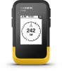
Garmin eTrex SE Owners Manual
Garmin eTrex SE Manual
 |
View all Garmin eTrex SE manuals
Add to My Manuals
Save this manual to your list of manuals |
Garmin eTrex SE manual content summary:
- Garmin eTrex SE | Owners Manual - Page 1
ETREX® SE Owner's Manual - Garmin eTrex SE | Owners Manual - Page 2
changes in the content of this manual without obligation to notify any person or organization of such changes or improvements. Go to www.garmin.com for current updates and supplemental information concerning the use of this product. Garmin®, the Garmin logo, eTrex®, and TracBack® are trademarks of - Garmin eTrex SE | Owners Manual - Page 3
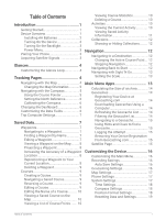
Geocaching.com 15 Satellite Page 15 Customizing the Device 16 Customizing the Main Menu 16 Recording Settings 16 Auto Save Settings 16 Geocaching Settings 16 Map Settings 17 Phone Settings 17 System Settings 17 Time Settings 18 Compass Settings 18 Position Format Settings 18 Resetting - Garmin eTrex SE | Owners Manual - Page 4
Device Information 19 Product Updates 19 Setting Up Garmin Express 19 Getting More Information 19 Viewing 21 Specifications 21 Appendix 22 Optional Accessories 22 Attaching a Lanyard 22 Troubleshooting 22 Maximizing Battery Life 22 Long-Term Storage 22 Restarting the Device 22 - Garmin eTrex SE | Owners Manual - Page 5
phone with the Garmin Explore™ app (Pairing Your Phone, page 3). The app allows you to receive notifications, view weather forecasts, search for live geocache data, and more. 4 Go outdoors to an open area and wait while the device locates satellites. When the device acquires satellite signals, it - Garmin eTrex SE | Owners Manual - Page 6
on. Hold to open the power menu. Press to turn the backlight on or off. Press to scroll through menus, options, and settings. Press to scroll through menus, options, and settings. OK Press to choose an option or open the menu for a page. Hold to save your current location as a waypoint. Press - Garmin eTrex SE | Owners Manual - Page 7
.) of your device. 2 From the main menu on your eTrex SE device, select Settings > Pair Phone. 3 From the app store on your phone, install and open the Garmin Explore app. 4 From the app, select the Devices option, and follow the on-screen instructions to pair your device. After the device and phone - Garmin eTrex SE | Owners Manual - Page 8
Sunrise/Sunset: Displays sunrise and sunset times, based on your GPS position. Weather: Displays the current temperature and weather forecast from (trail). Waypoint names and symbols appear on the map. Compass page: Guides you to your destination by displaying a compass and bearing pointer. Trip - Garmin eTrex SE | Owners Manual - Page 9
Orientation 1 From the main menu, select Tracking, and press or to scroll to the map page. 2 Press OK to open the options menu. 3 Select Map Settings > Orientation. 4 Select an option: • Select North Up to show north at the top of the page. • Select Track Up to show your current direction of - Garmin eTrex SE | Owners Manual - Page 10
set grid north (000 degrees) as the heading reference, select Grid. Calibrating the Compass Before you can calibrate the electronic compass, you must be outdoors, away from objects that influence magnetic fields, such as cars, buildings, or overhead power lines. The eTrex SE screen instructions. - Garmin eTrex SE | Owners Manual - Page 11
trip computer to its factory default settings. Saved Data From the main menu activity. Collections: You can use the Garmin Explore app to group related waypoints, courses main menu, press or 2 Select Saved > Waypoints. 3 Select Search. to scroll through the apps on the navigator. Editing a - Garmin eTrex SE | Owners Manual - Page 12
to open the options menu. 5 Select Project Wpt.. 6 Set the heading, select a unit of measure, and enter the . When averaging, the navigator takes several GPS readings at the same location and uses . 7 Select Start. 8 Follow the on-screen instructions. 9 When the confidence status bar reaches 100%, - Garmin eTrex SE | Owners Manual - Page 13
Deleting a Waypoint 1 From the main menu, press or to scroll through the apps on the navigator. 2 Select Saved > Waypoints. 3 Select a waypoint. 4 Press OK to open the options menu. 5 Select Delete. Courses Creating a Course 1 From the main menu, press or to scroll through the apps on the navigator. - Garmin eTrex SE | Owners Manual - Page 14
By default, the device automatically starts recording your path as an activity when it is turned on and has acquired satellite signals. You can pause and resume the activity manually. 1 From the main menu, press or to scroll through the apps on the navigator. 2 Select Saved > Activities > Current - Garmin eTrex SE | Owners Manual - Page 15
Stopping the Current Activity 1 From the main menu, press or to scroll through the apps on the navigator. 2 Select Saved > Activities > Current Activity. 3 Select an option: • To pause recording, select Pause. • To save the activity, select Save > Done. TIP: You can edit the name or type before - Garmin eTrex SE | Owners Manual - Page 16
or Hiding Collections You can create collections in the Garmin Explore app. To display data from your collections on While navigating a course, you can change the active course point if manual course transitions are enabled (System Settings, page 17). 1 From the main menu, press or to scroll through - Garmin eTrex SE | Owners Manual - Page 17
: Displays your current GPS satellite information (Satellite Page, page 15). Saved: Allows you to manage saved waypoints, courses, activities, and collections (Saved Data, page 7). Settings: Allows you to customize device and system settings (Customizing the Device, page 16). Sight 'N Go: Allows - Garmin eTrex SE | Owners Manual - Page 18
the on-screen instructions. Connecting to Geocaching.com After you register, you can view geocaches from www.geocaching.com on your device while connected wirelessly. • Connect to the Garmin Explore app. Downloading Geocaches Using a Computer You can load geocaches manually onto your device using - Garmin eTrex SE | Owners Manual - Page 19
from the geocaching website. 1 From the main menu, press or to scroll through the apps on the navigator. 2 Select Settings > Geocaching > Unregister Device. Satellite Page The satellite page shows your current location, GPS accuracy, satellite locations, and signal strength. Main Menu Apps 15 - Garmin eTrex SE | Owners Manual - Page 20
data from your device and remove your device registration from geocaching.com (Removing Your Device Registration From Geocaching.com, page 15). Geocache Style: Sets the device to display the geocache list using names or codes. Found Geocaches: Allows you to edit the number of geocaches found. This - Garmin eTrex SE | Owners Manual - Page 21
. The Manual option allows you to turn on expedition mode using the power menu (Turning On Expedition Mode, page 3). The Interval option determines how often GPS track points are recorded. Satellite: Allows you to change the satellite system. The GPS Only option enables the GPS satellite system - Garmin eTrex SE | Owners Manual - Page 22
Distance is selected for the Course Trans. settings. USB Mode: Sets the device to use MTP (media transfer protocol) or Garmin® mode when connected to a computer. Reset: Allows you to reset user data and settings (Resetting Data and Settings, page 19). Time Settings From the main menu, press or to - Garmin eTrex SE | Owners Manual - Page 23
Setting Up Garmin Express 1 Connect the device to your computer using a USB cable. 2 Go to garmin.com/express. 3 Follow the on-screen instructions. Getting More Information You can find more information about this product on the Garmin website. • Go to support.garmin.com for additional manuals - Garmin eTrex SE | Owners Manual - Page 24
is not compatible with Windows® 95, 98, Me, Windows NT®, and Mac® OS 10.3 and earlier. File Types The handheld device supports these file types: • Files from Garmin Explore. • GPX route, track, and waypoint files. • GPX geocache files (Downloading Geocaches Using a Computer, page 14). • FIT courses - Garmin eTrex SE | Owners Manual - Page 25
review and navigate using these files, but cannot edit, rename, or delete them on the device. These files do not sync with the Garmin Explore . NOTE: Mac operating systems provide limited support for MTP file transfer mode. You must open the Garmin drive on a Windows operating system. Disconnecting - Garmin eTrex SE | Owners Manual - Page 26
, page 17). • Use expedition mode (Turning On Expedition Mode, page 3). • Turn off Bluetooth technology (Phone Settings, page 17). • Turn off additional satellite systems (System Settings, page 17). Long-Term Storage When you do not plan to use the device for several months, remove the batteries - Garmin eTrex SE | Owners Manual - Page 27
set route. You must be navigating for this data to appear. CURRENT LAP: The stopwatch time for the current lap. DATE GPS: The strength of the GPS satellite signal. GPS ACCURACY: The margin of error for your exact location. For example, your GPS location is accurate to within +/- 3.65 m (12 ft.). GPS - Garmin eTrex SE | Owners Manual - Page 28
stopwatch time for the current activity. SUNRISE: The time of sunrise based on your GPS position. SUNRISE/SET: The time of the next sunrise or sunset based on your GPS position. SUNSET: The time of sunset based on your GPS position. TIME OF DAY: The time of day based on your current location and - Garmin eTrex SE | Owners Manual - Page 29
- Garmin eTrex SE | Owners Manual - Page 30
support.garmin.com March 2023 GUID-76DD39C5-047F-4599-892F-60C9207A6637 v1
-
 1
1 -
 2
2 -
 3
3 -
 4
4 -
 5
5 -
 6
6 -
 7
7 -
8
-
9
-
10
-
11
-
12
-
13
-
14
-
15
-
16
-
17
-
18
-
19
-
20
-
21
-
22
-
23
-
24
-
25
-
26
-
27
-
28
-
29
-
30
 |
 |
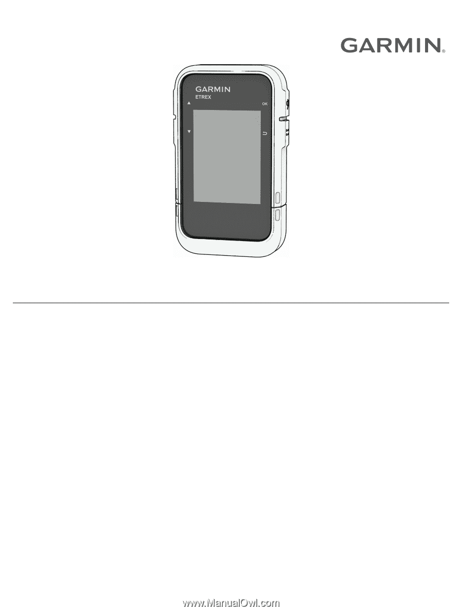
ETREX
®
SE
Owner’s Manual