Nextar X3-09 X3-09 Software Manual - Page 21
Route demonstration, 4.9 POI Points of Interest, Saving POIs, Managing POIs
 |
View all Nextar X3-09 manuals
Add to My Manuals
Save this manual to your list of manuals |
Page 21 highlights
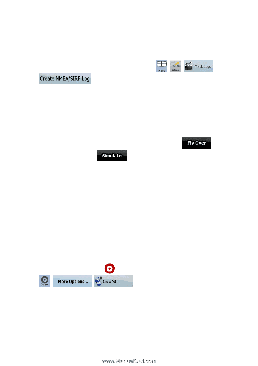
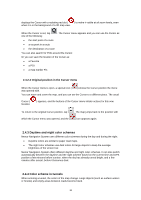
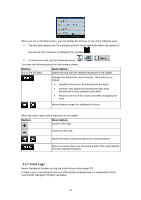
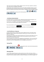
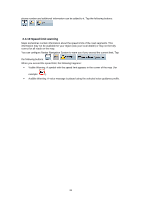
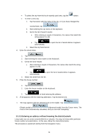
Track Logs can be recorded, renamed, replayed, shown on the map, exported to a memory card in GPX format, and deleted. See page 57. Independently of the normal track log, you can instruct Nextar Navigation System to record the native GPS data received from the GPS device. These logs are saved as separate text files on the memory card, and they cannot be shown or replayed in Nextar Navigation System. To turn on NMEA/SIRF log saving, tap the following buttons: , , , . 2.4.8 Route demonstration A simulation drives you through the route, following the driving instructions (page 36). You can choose from a simulation at high speed or at normal driving speed. You can use it, for example, to see which bridge Nextar Navigation System planned for the route; if you do not want to take that bridge, you can avoid it. Route demonstrations can be started from the Route menu by tapping the (high speed simulation) or the (simulation at normal speed) button. 2.4.9 POI (Points of Interest) A point of interest (POI) is a location that someone might find useful or interesting. Nextar Navigation System is delivered with thousands of POIs and you can also create your own POIs in the application. POI locations are marked on the map with special icons. POI icons are quite large so you can easily recognize the symbol. The icons are also semi-transparent: they do not cover the streets and intersections behind them. POIs are grouped into several levels of categories and subcategories. The icon of a POI that comes with the map shows the symbol of the POI category. If you save your own POI, you can select an icon for it independently of the POI category you have put it in. Saving POIs To save a POI, place the Cursor ( , , ) at the desired location, then tap the following buttons: . Managing POIs You can select which POI groups to show and which ones to hide on the map, and from which zoom levels POI icons are visible. At the same place you can manage your saved POIs. A saved POI can be renamed, moved to a different POI group, its icon can be changed, or a 21
-
 1
1 -
2
-
3
-
4
-
5
-
6
-
7
-
8
-
9
-
10
-
11
-
12
-
13
-
14
-
15
-
 16
16 -
 17
17 -
 18
18 -
 19
19 -
 20
20 -
 21
21 -
 22
22 -
 23
23 -
 24
24 -
 25
25 -
 26
26 -
27
-
28
-
29
-
30
-
31
-
32
-
33
-
34
-
35
-
36
-
37
-
38
-
39
-
40
-
41
-
42
-
43
-
44
-
45
-
46
-
47
-
48
-
49
-
50
-
51
-
52
-
53
-
54
-
55
-
56
-
57
-
58
-
59
-
60
-
61
-
62
-
63
-
64
-
65
-
66
-
67
-
68
-
69
-
70
-
71
-
72
-
73
-
74
 |
 |