Garmin aera 796 Quick Reference Guide - Page 20
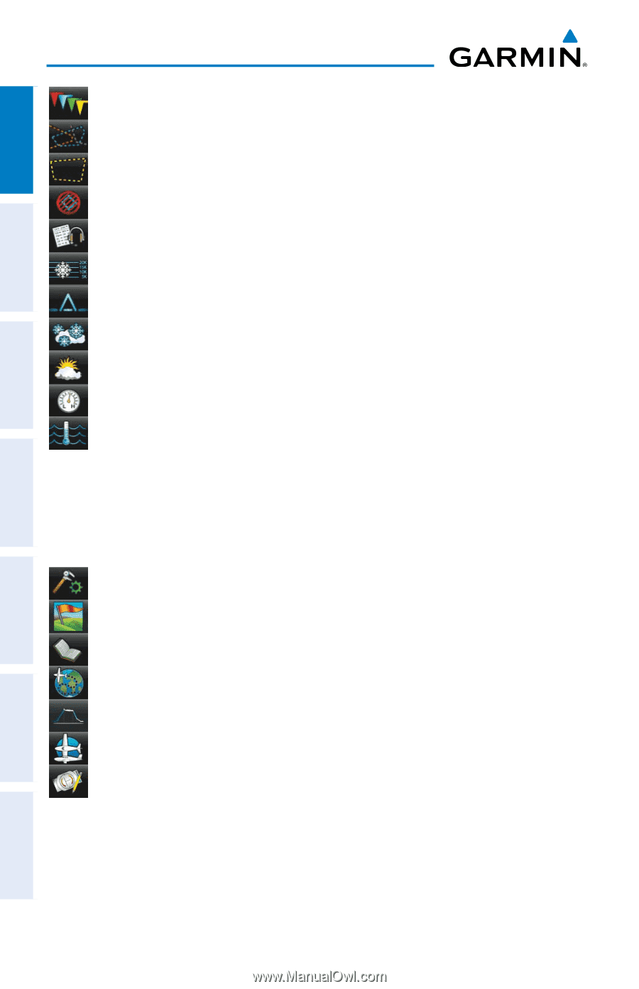
TOOLS, METAR, AIRMET, SIGMET, PIREP, Freeze Lvl, Turb Fcst, Icing Fcst, WX Frst, Pressure, Sea Temp
 |
View all Garmin aera 796 manuals
Add to My Manuals
Save this manual to your list of manuals |
Page 20 highlights
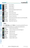
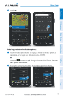
Overview GPS Navigation Hazard Avoidance Flight Planning Overview METAR AIRMET SIGMET TFR PIREP Freeze Lvl Turb Fcst Icing Fcst WX Frst Pressure Sea Temp Displays METARs. Displays AIRMETs. Displays SIGMETs. Displays TFRs (Temporary Flight Restrictions). Displays PIREPs. Displays Freezing Levels. Displays the Turbulence Forecast. Displays the Icing Forecast. Displays Forecast Information (current, 12hr, 24hr, 36hr, & 48hr). Displays Surface Pressure. Displays Water Temperature. TOOLS From the Main Menu, touch the Tools Icon to access the second-level Tools icons. Touch the following second-level icons to display the associated function: Setup Displays third-level Setup Icons. User WPT Displays User Waypoints and Proximity Waypoints. Flight Log Displays Flight Logs. Track Log Displays Track Logs. VNAV Displays Vertical Navigation. Profile Displays Aircraft Profiles. E6B Calc Displays the E6B Calculator. Utilities Appendix Index 10 Garmin aera 795/796 Quick Reference Guide 190-01194-01 Rev. B
-
 1
1 -
2
-
3
-
4
-
5
-
6
-
7
-
8
-
9
-
10
-
11
-
12
-
13
-
14
-
 15
15 -
 16
16 -
 17
17 -
 18
18 -
 19
19 -
 20
20 -
 21
21 -
 22
22 -
 23
23 -
 24
24 -
 25
25 -
26
-
27
-
28
-
29
-
30
-
31
-
32
-
33
-
34
-
35
-
36
-
37
-
38
-
39
-
40
-
41
-
42
-
43
-
44
-
45
-
46
-
47
-
48
-
49
-
50
-
51
-
52
-
53
-
54
-
55
-
56
-
57
-
58
-
59
-
60
-
61
-
62
 |
 |