Nokia E6-00 Nokia E6-00 User Guide in English - Page 80
data, improving the speed and accuracy of the positioning. Self-assisted GPS SA-GPS
 |
View all Nokia E6-00 manuals
Add to My Manuals
Save this manual to your list of manuals |
Page 80 highlights
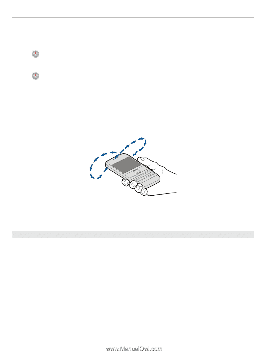
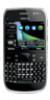
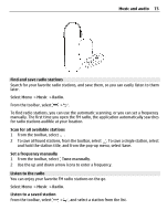
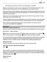
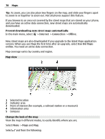
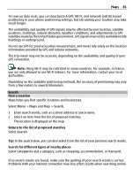
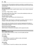
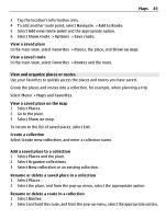
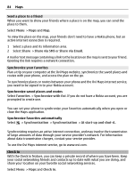
80 Maps Select Menu > Maps and Map. Activate the compass Select . Deactivate the compass Select again. The map is oriented north. The compass is active when it is green. If the compass needs calibration, the compass is red. Calibrate the compass Turn the phone around until it beeps or vibrates. The compass has limited accuracy. Electromagnetic fields, metal objects, or other external circumstances may also affect the accuracy of the compass. The compass should always be properly calibrated. About positioning methods Maps displays your location on the map using GPS, A-GPS, SA-GPS, Wi-Fi, or network (cell ID) based positioning. The global positioning system (GPS) is a satellite-based navigation system used for calculating your location. Assisted GPS (A-GPS) is a network service that sends you GPS data, improving the speed and accuracy of the positioning. Self-assisted GPS (SA-GPS) provides the fastest positioning without using a network connection. Wi-Fi network positioning improves position accuracy when GPS signals are not available, especially when you are indoors or between tall buildings. With network (cell ID) based positioning, the position is determined through the antenna system your phone is currently connected to.
-
 1
1 -
2
-
3
-
4
-
5
-
6
-
7
-
8
-
9
-
10
-
11
-
12
-
13
-
14
-
15
-
16
-
17
-
18
-
19
-
20
-
21
-
22
-
23
-
24
-
25
-
26
-
27
-
28
-
29
-
30
-
31
-
32
-
33
-
34
-
35
-
36
-
37
-
38
-
39
-
40
-
41
-
42
-
43
-
44
-
45
-
46
-
47
-
48
-
49
-
50
-
51
-
52
-
53
-
54
-
55
-
56
-
57
-
58
-
59
-
60
-
61
-
62
-
63
-
64
-
65
-
66
-
67
-
68
-
69
-
70
-
71
-
72
-
73
-
74
-
 75
75 -
 76
76 -
 77
77 -
 78
78 -
 79
79 -
 80
80 -
 81
81 -
 82
82 -
 83
83 -
 84
84 -
 85
85 -
86
-
87
-
88
-
89
-
90
-
91
-
92
-
93
-
94
-
95
-
96
-
97
-
98
-
99
-
100
-
101
-
102
-
103
-
104
-
105
-
106
-
107
-
108
-
109
-
110
-
111
-
112
-
113
-
114
-
115
-
116
-
117
-
118
-
119
-
120
-
121
-
122
-
123
-
124
-
125
-
126
-
127
-
128
-
129
-
130
-
131
 |
 |