Nokia E66 User Guide - Page 88
Positioning settings, Maps, About Maps - black
 |
UPC - 890552609239
View all Nokia E66 manuals
Add to My Manuals
Save this manual to your list of manuals |
Page 88 highlights
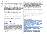
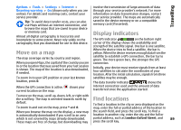
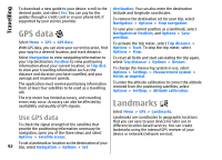
Travelling Satellite status To check how many satellites your device has found, and whether your device is receiving satellite signals, select Menu > GPS > GPS data > Position > Options > Satellite status. If your device has found satellites, a bar for each satellite is shown in the satellite info view. The longer the bar, the stronger the satellite signal. When your device has received enough data from the satellite signal, the bar turns black. Positioning settings Select Menu > Tools > Settings > General > Positioning. To use a specific positioning method to detect the location of your device, select Positioning methods. If you browse to an area which is not covered by maps already downloaded in your device, a map for the area is automatically downloaded through the internet. Some maps may be available in your device or memory card. You can also use the Nokia Map Loader PC software to download maps. To install Nokia Map Loader to a compatible PC, go to www.nokia.com/ maps. Downloading maps may involve the transmission of large amounts of data through your service provider's network. Contact your service provider for information about data transmission charges. When you use Maps for the first time, you may need to select an access point for downloading maps. To change the access point later, select Options > Tools > Settings > Internet > Default access point. To select a positioning server, select Positioning server. About Maps Maps Select Menu > Tools > Maps. With Maps, you can see your current location on the map, browse maps for different cities and countries, search for addresses and different points of interest, plan routes from one location to another, and save locations and send them to compatible devices. You can also purchase licences for extra services, such as travel guides, traffic information, and navigation 88 service with voice guidance. These services are not available for all countries or regions. To connect to the internet automatically when you start Maps, select Options > Tools > Settings > Internet > Go online at start-up > Yes. To prevent automatic downloading of maps, select Options > Tools > Settings > Internet > Go online at start-up > No. To set the device to ask your permission before connecting to the internet, select Options > Tools > Settings > Internet > Go online at start-up > Always ask. To be informed when your device registers to a network other than your home network, select
-
 1
1 -
2
-
3
-
4
-
5
-
6
-
7
-
8
-
9
-
10
-
11
-
12
-
13
-
14
-
15
-
16
-
17
-
18
-
19
-
20
-
21
-
22
-
23
-
24
-
25
-
26
-
27
-
28
-
29
-
30
-
31
-
32
-
33
-
34
-
35
-
36
-
37
-
38
-
39
-
40
-
41
-
42
-
43
-
44
-
45
-
46
-
47
-
48
-
49
-
50
-
51
-
52
-
53
-
54
-
55
-
56
-
57
-
58
-
59
-
60
-
61
-
62
-
63
-
64
-
65
-
66
-
67
-
68
-
69
-
70
-
71
-
72
-
73
-
74
-
75
-
76
-
77
-
78
-
79
-
80
-
81
-
82
-
 83
83 -
 84
84 -
 85
85 -
 86
86 -
 87
87 -
 88
88 -
 89
89 -
 90
90 -
 91
91 -
 92
92 -
 93
93 -
94
-
95
-
96
-
97
-
98
-
99
-
100
-
101
-
102
-
103
-
104
-
105
-
106
-
107
-
108
-
109
-
110
-
111
-
112
-
113
-
114
-
115
-
116
-
117
-
118
-
119
-
120
-
121
-
122
-
123
-
124
-
125
-
126
-
127
-
128
-
129
-
130
-
131
-
132
-
133
-
134
-
135
-
136
-
137
-
138
-
139
-
140
-
141
-
142
-
143
-
144
-
145
-
146
-
147
-
148
-
149
-
150
-
151
-
152
-
153
 |
 |