2001 Lexus GS 300 Navigation Manual - Page 50
2001 Lexus GS 300 Manual

Page 50 highlights
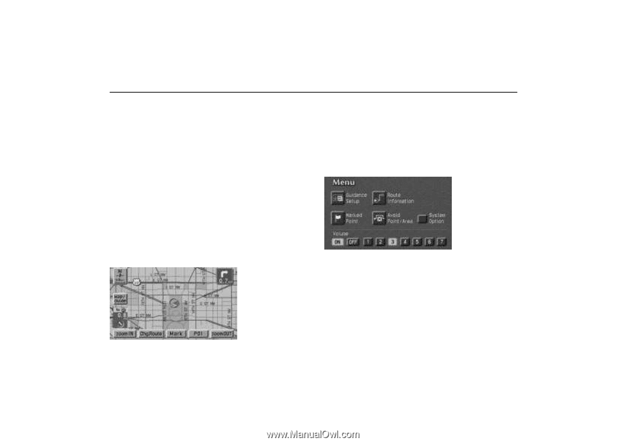
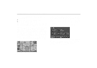
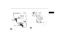
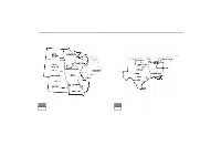
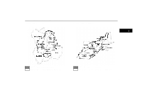
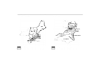
Map Database Information and updates Map database is made based on the maps, 1999 edition of DENSO, whose information source comes from NavTech maps and GDT maps. In order to provide you with accurate map information as much as possible, we are always gathering information such as road repairs and doing site investigation. However, the names of roads, streets, facilities, and their locations are often changed. In some places, construction on roads may be in progress. For that reason, information on some areas in this system might be different from the actual location. The map database is normally updated once a year. Contact your dealer for updating a map database. E 1999 Navigation Technologies. All rights reserved. E GDT, Geographic Data Technology, Inc. This product contains proprietary and confidential property of Geographic Data Technology, Inc. Unauthorized use, including duplication of this product is expressly prohibited. There are two types of areas available for route guidance. (See the following pages.) In one type of area, primarily around metropolitan centers, detailed route guidance is available for the entire area. In the other type of area, all roads are displayed on the map but route guidance is limited. The navigation route might lack precision because the data (no right turns, one-way traffic, etc.) is not completed. It is still possible to reach the destination by following the arrow direction and distance as shown on the bottom left of the screen. The arrow points in the direction of the destination. The distance shown is as measured in a straight line from the current vehicle position to the destination area. UN068 System Option: To determine which version of the database is currently in your vehicle, touch the "System Option" switch on the "Menu" screen. The "System Option" screen appears and displays the map database version date. Contact your dealer to find out if there is a more recent update released. UN200 42
-
 1
1 -
2
-
3
-
4
-
5
-
6
-
7
-
8
-
9
-
10
-
11
-
12
-
13
-
14
-
15
-
16
-
17
-
18
-
19
-
20
-
21
-
22
-
23
-
24
-
25
-
26
-
27
-
28
-
29
-
30
-
31
-
32
-
33
-
34
-
35
-
36
-
37
-
38
-
39
-
40
-
41
-
42
-
43
-
44
-
 45
45 -
 46
46 -
 47
47 -
 48
48 -
 49
49 -
 50
50 -
 51
51 -
 52
52 -
 53
53 -
 54
54 -
 55
55 -
56
-
57
-
58
-
59
-
60
-
61
-
62
-
63
-
64
-
65
-
66
-
67
-
68
-
69
-
70
-
71
-
72
-
73
-
74
-
75
-
76
-
77
-
78
-
79
-
80
-
81
-
82
-
83
-
84
-
85
-
86
-
87
-
88
-
89
-
90
-
91
-
92
-
93
-
94
-
95
-
96
-
97
-
98
-
99
-
100
-
101
-
102
-
103
-
104
-
105
-
106
-
107
-
108
-
109
-
110
-
111
-
112
-
113
-
114
-
115
-
116
-
117
-
118
 |
 |