Magellan RoadMate 6000T Manual - English - Page 110
Altitude, 4 Opening a POI File
 |
UPC - 763357115055
View all Magellan RoadMate 6000T manuals
Add to My Manuals
Save this manual to your list of manuals |
Page 110 highlights
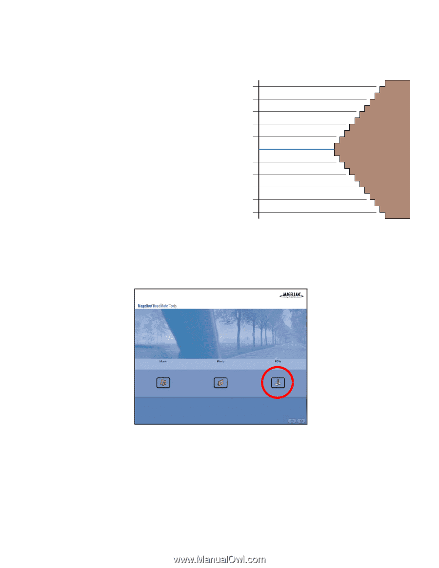
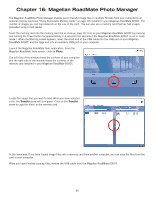
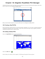
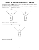
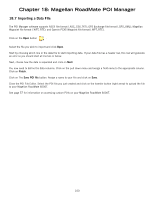
Chapter 18: Magellan RoadMate POI Manager 18.3 Altitude Each location can also have an Altitude. Altitude is expressed by how far the point is above or below the level of the ocean, or Sea Level. For example, Los Angeles, California is about 300 feet above sea level. Death Valley, California is about 270 feet below sea level. 100' Above 80' Above 60' Above 40' Above 20' Above Sea Level 0' 20' Below 40' Below 60' Below 80' Below 100' Below Turn on your Magellan RoadMate 6000T by pressing and holding the Power button for approximately 2-3 seconds, 10 seconds if not in sleep mode (see "Top View" on page 7). When the Warning screen appears, insert the small end of the USB cable into the USB port on your Magellan RoadMate 6000T, and the large end into an available USB port on your computer. Launch the Magellan RoadMate Tools application. From the Magellan RoadMate Tools screen, click on POI. The left side of the window shows the contents of your computer and the right side of the window shows the contents of the Magellan RoadMate 6000T. 18.4 Opening a POI File When you start the POI Manager the contents of your "My POI's" folder will be displayed. This is the default location for storing custom POI files. 100
-
 1
1 -
2
-
3
-
4
-
5
-
6
-
7
-
8
-
9
-
10
-
11
-
12
-
13
-
14
-
15
-
16
-
17
-
18
-
19
-
20
-
21
-
22
-
23
-
24
-
25
-
26
-
27
-
28
-
29
-
30
-
31
-
32
-
33
-
34
-
35
-
36
-
37
-
38
-
39
-
40
-
41
-
42
-
43
-
44
-
45
-
46
-
47
-
48
-
49
-
50
-
51
-
52
-
53
-
54
-
55
-
56
-
57
-
58
-
59
-
60
-
61
-
62
-
63
-
64
-
65
-
66
-
67
-
68
-
69
-
70
-
71
-
72
-
73
-
74
-
75
-
76
-
77
-
78
-
79
-
80
-
81
-
82
-
83
-
84
-
85
-
86
-
87
-
88
-
89
-
90
-
91
-
92
-
93
-
94
-
95
-
96
-
97
-
98
-
99
-
100
-
101
-
102
-
103
-
104
-
 105
105 -
 106
106 -
 107
107 -
 108
108 -
 109
109 -
 110
110 -
 111
111 -
 112
112 -
 113
113 -
 114
114 -
 115
115 -
116
-
117
-
118
-
119
-
120
-
121
 |
 |