Garmin GPS 12XL Owner's Manual (Software Version 4.0 and above) - Page 48
Navigation, Setup
 |
UPC - 753759007034
View all Garmin GPS 12XL manuals
Add to My Manuals
Save this manual to your list of manuals |
Page 48 highlights
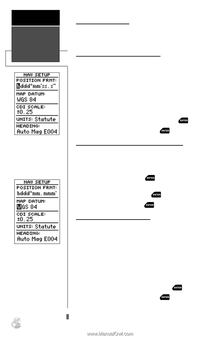
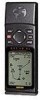
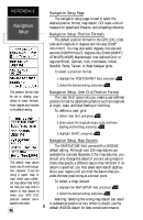
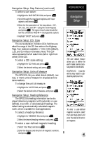
REFERENCE Navigation Setup The position format may be set to display your choice of many formats. Note: degree and minutes is the default setting. The default map datum covers world-wide navigation. However, if you are using a paper map or chart which uses a different map datum that WGS 84, then you may wish to switch to that datum to make your GPS 12XL position readout correspond to the chart. 44 Navigation Setup Page The navigation setup page is used to select the desired position format, map datum, CDI scale, units of measure for speed and distance, and a heading reference. Navigation Setup: Position Formats The default position format for the GPS 12XL is lati- tude and longitude in degrees and minutes (hdddº mm.mmm'). You may also select degrees, minutes and seconds (hdddºmm'ss.s''); degrees only (hddd.dddddº); UTM/UPS; MGRS; Maidenhead; User-defined Grid; or regional British, German, Irish, Indonesian, Indian, Swedish, Swiss, Taiwan, or West Malayan grids. To select a position format: 1. Highlight the 'POSITION FRMT' field, and press . 2. Select the desired setting, and press . Navigation Setup: User Grid Position Format The 'User Grid' option lets you create a user-defined position format by establishing factors such as longitude of origin, scale, and false Easting or Northing. To define a user grid: 1. Select 'User Grid', and press . 2. Enter values for longitude origin, scale, and false Easting and Northing, and press . 3. Highlight 'SAVE?', and press . Navigation Setup: Map Datums The 'MAP DATUM' field comes with a 'WGS 84' default setting. Although over 100 map datums are available for use (see Appendix D for map datums), you should only change the datum if you are using maps or charts that specify a different datum than WGS 84. If no datum is specified, you may select each datum applicable to your region until you find the datum that provides the best positioning at a known point. To select a map datum: 1. Highlight the 'MAP DATUM' field, and press . 2. Select the desired setting, and press . Warning: Selecting the wrong map datum can result in substantial position errors. When in doubt, use the default WGS 84 datum for best overall performance.
-
 1
1 -
2
-
3
-
4
-
5
-
6
-
7
-
8
-
9
-
10
-
11
-
12
-
13
-
14
-
15
-
16
-
17
-
18
-
19
-
20
-
21
-
22
-
23
-
24
-
25
-
26
-
27
-
28
-
29
-
30
-
31
-
32
-
33
-
34
-
35
-
36
-
37
-
38
-
39
-
40
-
41
-
42
-
 43
43 -
 44
44 -
 45
45 -
 46
46 -
 47
47 -
 48
48 -
 49
49 -
 50
50 -
 51
51 -
 52
52 -
 53
53 -
54
-
55
-
56
-
57
-
58
-
59
-
60
-
61
-
62
-
63
-
64
-
65
-
66
 |
 |