Garmin GPSMap 498 Owner's Manual - Page 29
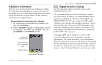
Additional Information, DSC (Digital Selective Calling), To view additional information for a Map item - chartplotter
 |
UPC - 753759052171
View all Garmin GPSMap 498 manuals
Add to My Manuals
Save this manual to your list of manuals |
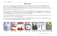
Page 29 highlights
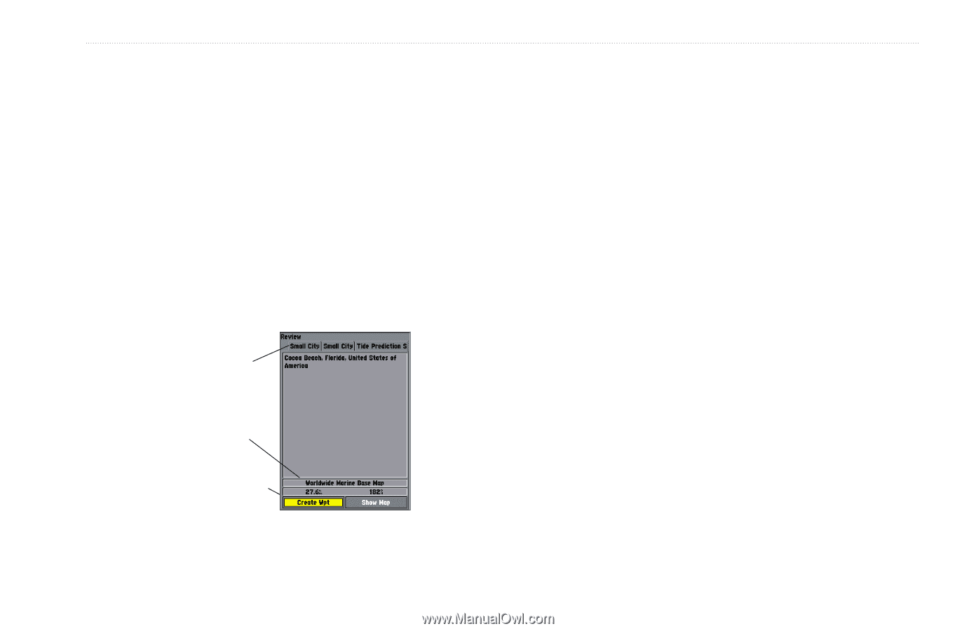
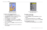
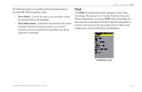
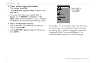
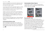
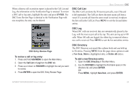
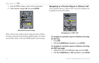
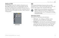
Additional Information Each item on the map has information about the point available. The information varies depending on the type of data loaded on the optional data card. Sub tabs along the top of the detail window contain the information available for the item. Any additional options are shown along the bottom. To view additional information for a Map item: 1. On the Map Page, use the ROCKER to highlight a map item, and press ENTER. 2. Use the ROCKER to highlight the individual tabs, and show the information. To scroll the text, highlight the field, and press ENTER. Use the ROCKER to scroll. Additional information tabs Distance, Bearing, and Coordinates of item Additional options BASIC OPERATION > ADDITIONAL INFORMATION AND DSC DSC (Digital Selective Calling) The DSC tab controls and sets up the DSC features on the GPSMAP 392/398/492/498. DSC uses marine VHF radio and GPS technologies to transmit and receive location information. The chartplotter repeats the call properties received from the VHF radio on the chartplotter. The GPSMAP 392/398/492/498 requires input from a DSC-enabled VHF radio to show position, and sound/show alerts from a distress call or position report. Conversely, the VHF radio requires input from a GPS to transmit position coordinates for a distress call or position report. For connection information, refer to "Connecting the Power/Data Cable" on page 92. An emergency DSC distress call allows a vessel in trouble to transmit a substantial amount of information in a single transmission or call, without the need for voice communication. When any nearby rescuer receives the DSC signal, an alarm sounds and they immediately receive the location of the caller. The rescuer can choose to navigate to the caller's location to assist, or forward the call on to the Coast Guard. When the Coast Guard receives the Information Window GPSMAP 392/398/492/498 Owner's Manual 21
-
 1
1 -
2
-
3
-
4
-
5
-
6
-
7
-
8
-
9
-
10
-
11
-
12
-
13
-
14
-
15
-
16
-
17
-
18
-
19
-
20
-
21
-
22
-
23
-
 24
24 -
 25
25 -
 26
26 -
 27
27 -
 28
28 -
 29
29 -
 30
30 -
 31
31 -
 32
32 -
 33
33 -
 34
34 -
35
-
36
-
37
-
38
-
39
-
40
-
41
-
42
-
43
-
44
-
45
-
46
-
47
-
48
-
49
-
50
-
51
-
52
-
53
-
54
-
55
-
56
-
57
-
58
-
59
-
60
-
61
-
62
-
63
-
64
-
65
-
66
-
67
-
68
-
69
-
70
-
71
-
72
-
73
-
74
-
75
-
76
-
77
-
78
-
79
-
80
-
81
-
82
-
83
-
84
-
85
-
86
-
87
-
88
-
89
-
90
-
91
-
92
-
93
-
94
-
95
-
96
-
97
-
98
-
99
-
100
-
101
-
102
-
103
-
104
-
105
-
106
-
107
-
108
-
109
-
110
-
111
-
112
-
113
-
114
-
115
-
116
-
117
-
118
-
119
-
120
-
121
-
122
 |
 |