Alpine INE-Z928HD Navigation User's Manual (english) - Page 69
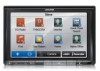
Information menu
 |
View all Alpine INE-Z928HD manuals
Add to My Manuals
Save this manual to your list of manuals |
Page 69 highlights
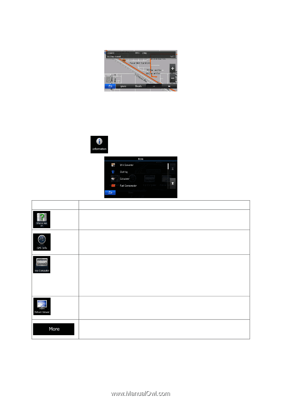
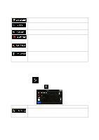
5.2 Information menu The Information menu provides you with various options and additional applications. In the Navigation menu, tap . Button Description Tap this button to get information about the current location and to find nearby help. Tap this button to open the GPS Information screen with satellite position and signal strength information. If you save your trip logs when you arrive at some of your destinations or let the application automatically save the trip logs for you, those logs are all listed here. Tap one of the trips to see the trip statistics, speed and altitude profile. If track log has also been saved, you can display it on the map with the selected color. Track logs can be exported to GPX files for later use. As a shortcut, the Trip monitor can be accessed from the Navigation menu. Access the Picture Viewer application. View the pictures stored on your microSD. If coordinates are stored in your photos, you can start navigating to the place where the selected photo was taken. Tap this button to access additional functions. See the list below. 69
-
 1
1 -
2
-
3
-
4
-
5
-
6
-
7
-
8
-
9
-
10
-
11
-
12
-
13
-
14
-
15
-
16
-
17
-
18
-
19
-
20
-
21
-
22
-
23
-
24
-
25
-
26
-
27
-
28
-
29
-
30
-
31
-
32
-
33
-
34
-
35
-
36
-
37
-
38
-
39
-
40
-
41
-
42
-
43
-
44
-
45
-
46
-
47
-
48
-
49
-
50
-
51
-
52
-
53
-
54
-
55
-
56
-
57
-
58
-
59
-
60
-
61
-
62
-
63
-
 64
64 -
 65
65 -
 66
66 -
 67
67 -
 68
68 -
 69
69 -
 70
70 -
 71
71 -
 72
72 -
 73
73 -
 74
74 -
75
-
76
-
77
-
78
-
79
-
80
-
81
-
82
-
83
-
84
-
85
 |
 |