Garmin GPSMAP 2206 GPSMAP 2206/2210 Owner's Manual - Page 18
Using Additional Map Data, Using the Map Pointer, To move the map pointer - mapsource
 |
UPC - 753759053024
View all Garmin GPSMAP 2206 manuals
Add to My Manuals
Save this manual to your list of manuals |
Page 18 highlights
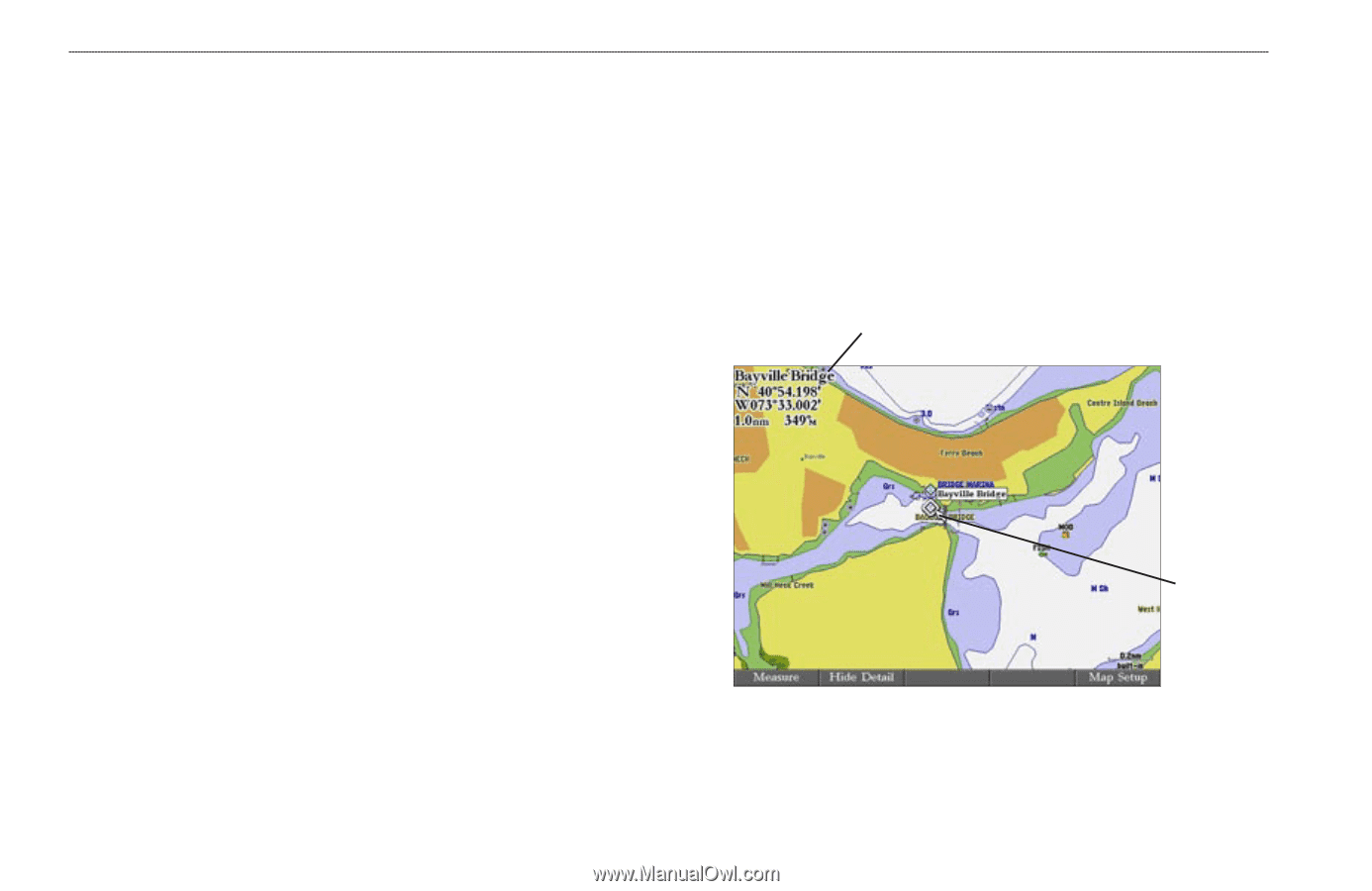
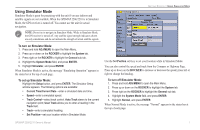
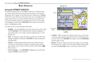
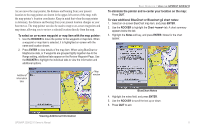
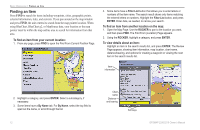
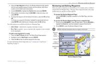
BASIC OPERATION > USING THE GPSMAP 2206/2210 Using Additional Map Data The GPSMAP 2206/2210 comes preloaded with detailed marine cartography using BlueChart® g2 technology. Built-in coverage is provided for U.S. coastal areas, including Alaska and Hawaii. Features include integrated mapping, 2-D or 3-D map perspective, tide and current data, improved IALA symbols, navaids, marinas, boat ramps, roads, and more. Optional preprogrammed Garmin data cards and MapSource CD-ROMs enhance the versatility of your GPSMAP 2206/2210. With optional prepgrogrammed BlueChart g2 data cards, you can access additional data including highly detailed coastal roads and points of interest such as restaurants, lodging, and local attractions. Full-color aerial photographs of ports, marinas, bridges, and navigational landmarks are also included on many preprogrammed BlueChart g2 data cards. See your Garmin dealer or visit the Garmin Web site (www.garmin.com) for more information on available preprogrammed Garmin data cards and other MapSource programs. Using the Map Pointer Use the map pointer to pan away from your current location and scroll to other map areas around the world (even outside of your current detail coverage). As you pan past the edge of the current map display, the screen actively scrolls forward to provide continuous map coverage. An hourglass symbol appears by the pointer while the unit is busy drawing new map detail. Controlled by the ROCKER, the map pointer is an important tool that can be used to pan to other map locations, mark and edit waypoints and routes, and review location data of on-screen map items and waypoints. Map item name, pointer coordinates, distance, and bearing Map pointer Using the Map Pointer To move the map pointer: Press the ROCKER to move the map pointer up, down, left, right, or diagonally. 10 GPSMAP 2206/2210 Owner's Manual
-
 1
1 -
2
-
3
-
4
-
5
-
6
-
7
-
8
-
9
-
10
-
11
-
12
-
 13
13 -
 14
14 -
 15
15 -
 16
16 -
 17
17 -
 18
18 -
 19
19 -
 20
20 -
 21
21 -
 22
22 -
 23
23 -
24
-
25
-
26
-
27
-
28
-
29
-
30
-
31
-
32
-
33
-
34
-
35
-
36
-
37
-
38
-
39
-
40
-
41
-
42
-
43
-
44
-
45
-
46
-
47
-
48
-
49
-
50
-
51
-
52
-
53
-
54
-
55
-
56
-
57
-
58
-
59
-
60
-
61
-
62
-
63
-
64
-
65
-
66
-
67
-
68
-
69
-
70
-
71
-
72
-
73
-
74
-
75
-
76
-
77
-
78
-
79
-
80
-
81
-
82
-
83
-
84
-
85
-
86
-
87
-
88
-
89
-
90
-
91
-
92
-
93
-
94
-
95
-
96
-
97
-
98
-
99
-
100
-
101
-
102
-
103
-
104
-
105
-
106
 |
 |