Jensen NVX225 User Manual - Page 21
About screen, 3 GPS Data screen
 |
UPC - 044476040818
View all Jensen NVX225 manuals
Add to My Manuals
Save this manual to your list of manuals |
Page 21 highlights
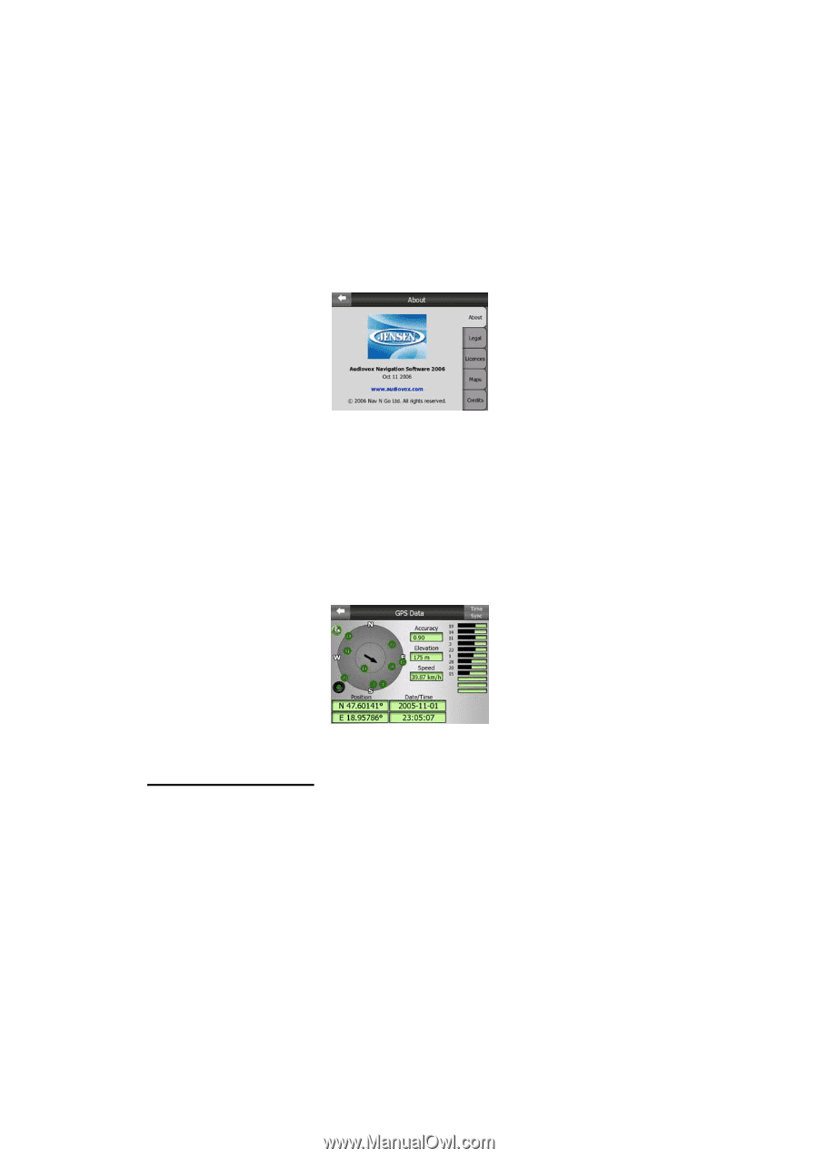
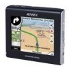
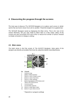
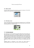
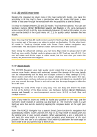
** Same as removing the SD card 4.2 About screen It is here to inform you about the map licenses you have, the creators of The NVX225 Navigator and the legal aspects of using the program. 4.3 GPS Data screen Tap the small satellite dish icon in the Main menu to open this screen. The GPS Data screen is a collection of information received from the GPS device and it also serves as the entry point to the Time Sync screen. 4.3.1 GPS data displayed The virtual sky on the left represents the currently visible part of the sky above you, with your position as the centre. The satellites are shown at their current positions. The GPS receives data from the green and grey satellites but not from the red ones. Signals from the grey satellites are only received, while green ones are used by the GPS to calculate your current location. On the right you can see the satellite signal strength bars. Grey bars are for the grey and black bars are for the green satellites. To identify satellites use their numbers also shown in the virtual sky. The more satellites your GPS tracks (the green ones), the better your calculated position will be. Additional pieces of information on this screen are: current position in latitude/longitude format, elevation, speed, date, time and calculated accuracy. 21
-
 1
1 -
2
-
3
-
4
-
5
-
6
-
7
-
8
-
9
-
10
-
11
-
12
-
13
-
14
-
15
-
 16
16 -
 17
17 -
 18
18 -
 19
19 -
 20
20 -
 21
21 -
 22
22 -
 23
23 -
 24
24 -
 25
25 -
 26
26 -
27
-
28
-
29
-
30
-
31
-
32
-
33
-
34
-
35
-
36
-
37
-
38
-
39
-
40
-
41
-
42
-
43
-
44
-
45
-
46
-
47
-
48
-
49
-
50
-
51
-
52
-
53
-
54
-
55
-
56
-
57
-
58
-
59
-
60
-
61
-
62
-
63
-
64
-
65
-
66
-
67
-
68
-
69
-
70
-
71
-
72
-
73
-
74
-
75
-
76
-
77
-
78
-
79
-
80
-
81
-
82
-
83
-
84
-
85
-
86
-
87
-
88
-
89
 |
 |