Garmin GPSMAP 172C Owner's Manual - Page 34
Waypoints Tab, Navaids Tab, Nav Line Tab, Track Tab, Spot Soundings/Tide Stations/Services
 |
UPC - 753759043537
View all Garmin GPSMAP 172C manuals
Add to My Manuals
Save this manual to your list of manuals |
Page 34 highlights
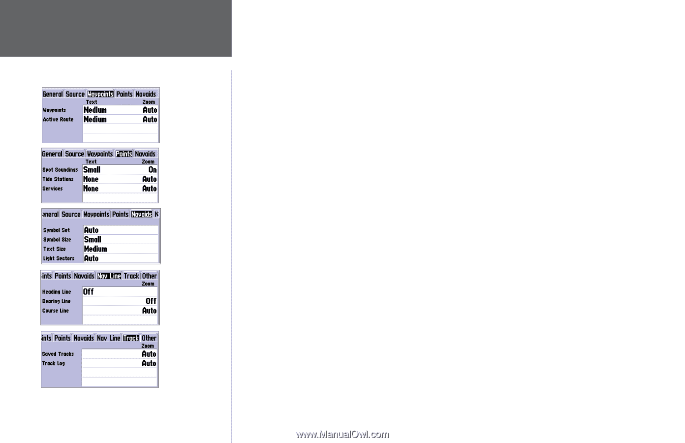
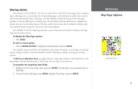
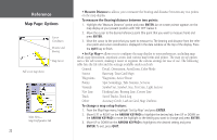
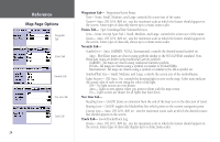
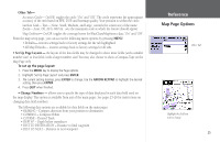
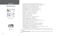
Reference Map Page Options Waypoints Tab Points Tab Navaids Tab Nav Line Tab Track Tab Waypoints Tab- Waypoints/Active Route Text- None, Small, Medium, and Large: controls the screen size of the name. Zoom- Auto, Off, 20 ft.-800 mi.: sets the maximum scale at which the feature should appear on the screen. Some types of data only shows up to certain zoom scales. Points Tab- Spot Soundings/Tide Stations/Services Text- None (except Spot Snd.), Small, Medium, and Large: controls the screen size of the name. Zoom- Auto, Off, 20 ft.-800 mi.: sets the maximum scale at which the feature should appear on the screen. Some types of data only shows up to certain zoom scales. Navaids Tab- Symbol Set- Auto, GARMIN, NOAA, International: controls the desired navaid symbol set. Auto - BlueChart maps are drawn using symbols similar to the NOAA/NIMA standard. Non- BlueChart maps are drawn using traditional Garmin symbols. GARMIN - All maps are drawn using traditional Garmin symbols. NOAA - All maps are drawn using a symbol set similar to NOAA/NIMA. International - All maps are drawn using a symbol set similar to the IALA symbol set. Symbol/Text Size- Small, Medium, and Large: controls the screen size of the symbol/name. Light Sectors- Off, Auto, On: controls the drawing light sectors on the map. Color units indicate the actual color of each sector using the color of the light. Off- No light sectors are ever drawn. Auto- Light sectors appear when you point to them with the map cursor. On- Light sectors are drawn for all lights that have them. Nav Line Tab- Heading Line- On/Off: draws an extension from the end of the boat icon in the direction of travel. Bearing Line- On/Off: toggles the black/white line which points to the current navigation point. Course Line- Auto, Off, 20 ft.-800 mi.: sets the maximum zoom scale at which the desired course line should appear on the screen. Track Tab- Saved Tracks/Track Log Zoom- Auto, Off, 20 ft.-800 mi.: sets the maximum scale at which the feature should appear on the screen. Some types of data only display up to certain zoom scales. 24
-
 1
1 -
2
-
3
-
4
-
5
-
6
-
7
-
8
-
9
-
10
-
11
-
12
-
13
-
14
-
15
-
16
-
17
-
18
-
19
-
20
-
21
-
22
-
23
-
24
-
25
-
26
-
27
-
28
-
 29
29 -
 30
30 -
 31
31 -
 32
32 -
 33
33 -
 34
34 -
 35
35 -
 36
36 -
 37
37 -
 38
38 -
 39
39 -
40
-
41
-
42
-
43
-
44
-
45
-
46
-
47
-
48
-
49
-
50
-
51
-
52
-
53
-
54
-
55
-
56
-
57
-
58
-
59
-
60
-
61
-
62
-
63
-
64
-
65
-
66
-
67
-
68
-
69
-
70
-
71
-
72
-
73
-
74
-
75
-
76
-
77
-
78
-
79
-
80
-
81
-
82
-
83
-
84
-
85
-
86
-
87
-
88
-
89
-
90
-
91
-
92
-
93
-
94
-
95
-
96
-
97
-
98
-
99
-
100
-
101
-
102
-
103
-
104
-
105
-
106
-
107
-
108
-
109
-
110
 |
 |