Garmin GPSMAP 172C Owner's Manual - Page 36
toggles between showing spot soundings and map outlines for easier, viewing., NOTE: COMPASS, HIGHWAY - nmea
 |
UPC - 753759043537
View all Garmin GPSMAP 172C manuals
Add to My Manuals
Save this manual to your list of manuals |
Page 36 highlights
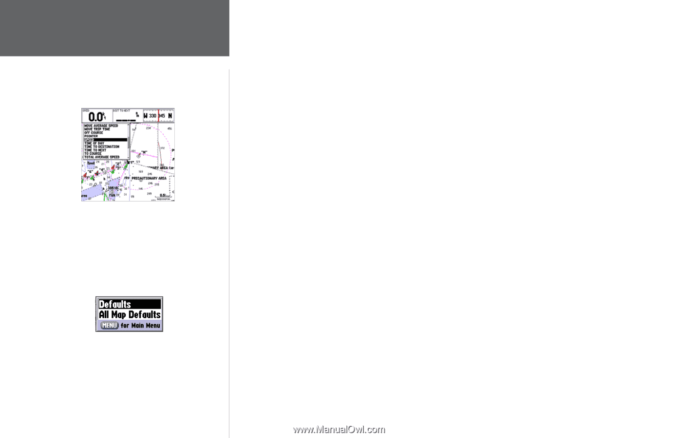
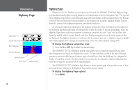
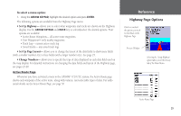
Reference Map Page Options Choose the type of data you wish to display. Map Setup Menu Options 26 • ELEVATION - Elevation above/below MSL (Mean Sea Level) • ETA AT DESTINATION - Estimated Time of Arrival to final waypoint • ETA AT NEXT - Estimated Time of Arrival to next waypoint • GPS ACCURACY - Shows estimated GPS accuracy • HIGHWAY - Smaller version of the Highway Page • MAXIMUM SPEED - Fastest speed the unit has traveled • MOVE AVERAGE SPEED - Average moving speed • MOVE TRIP TIME - Time unit has been moving for a trip • OFF COURSE - Distance from desired track • POINTER - Arrow points to your destination • POSITION - Current position coordinates • SONAR* - Compressed view of sonar data • SPEED - Speed over ground • TIME OF DAY - Current time • TIME TO DESTINATION - Time to final waypoint • TIME TO NEXT - Time to next waypoint • TO COURSE - Bearing to desired track • TOTAL AVERAGE SPEED - Total average speed • TOTAL TRIP TIME - Total travel time of trip, stopped and moving • TRACK - Current compass direction of travel • TRIP ODOMETER - Trip Odometer • TURN - Directional amount of turn needed to match bearing • VELOCITY MADE GOOD - Velocity Made Good to destination • VOLTAGE - Current voltage reading being received by unit • WATER SPEED* - Speed through the water • WATER TEMP. LOG* - Timeline graph of the transducer's temperature reading. • WATER TEMPERATURE * - Water temperature *If receiving proper sonar data from other device, such as a GSD 20 Sounder Module or NMEA device. NOTE: COMPASS, HIGHWAY, POSITION, SONAR, and WATER TEMP. LOG are only available on Large and Huge sized data fields. • Turn Declutter On/Off - toggles between showing spot soundings and map outlines for easier viewing.
-
 1
1 -
2
-
3
-
4
-
5
-
6
-
7
-
8
-
9
-
10
-
11
-
12
-
13
-
14
-
15
-
16
-
17
-
18
-
19
-
20
-
21
-
22
-
23
-
24
-
25
-
26
-
27
-
28
-
29
-
30
-
 31
31 -
 32
32 -
 33
33 -
 34
34 -
 35
35 -
 36
36 -
 37
37 -
 38
38 -
 39
39 -
 40
40 -
 41
41 -
42
-
43
-
44
-
45
-
46
-
47
-
48
-
49
-
50
-
51
-
52
-
53
-
54
-
55
-
56
-
57
-
58
-
59
-
60
-
61
-
62
-
63
-
64
-
65
-
66
-
67
-
68
-
69
-
70
-
71
-
72
-
73
-
74
-
75
-
76
-
77
-
78
-
79
-
80
-
81
-
82
-
83
-
84
-
85
-
86
-
87
-
88
-
89
-
90
-
91
-
92
-
93
-
94
-
95
-
96
-
97
-
98
-
99
-
100
-
101
-
102
-
103
-
104
-
105
-
106
-
107
-
108
-
109
-
110
 |
 |