Garmin D2 Charlie Owners Manual - Page 25
Navigating to the Starting Point of Your Last, Saved Activity, Stopping Navigation, Compass,
 |
View all Garmin D2 Charlie manuals
Add to My Manuals
Save this manual to your list of manuals |
Page 25 highlights
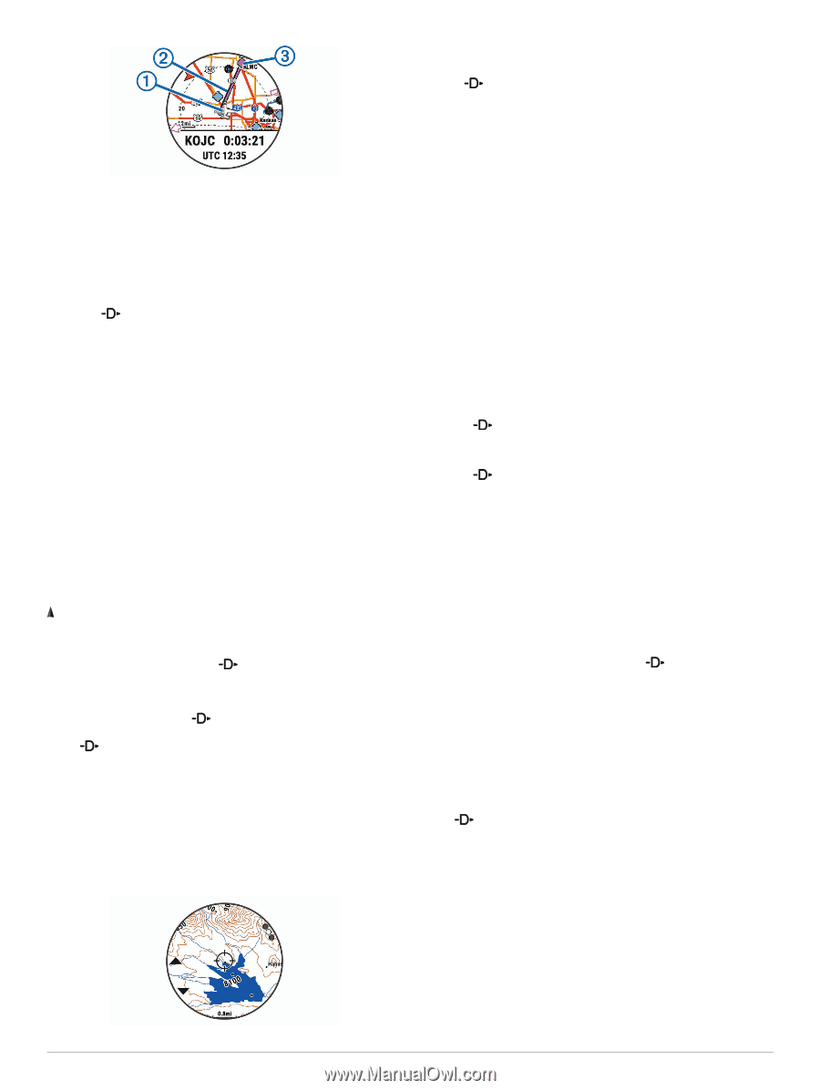
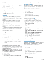
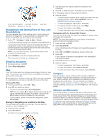
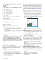
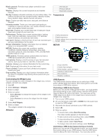
Your current location , the track to follow , and your À Á destination appear on the map. Â Navigating to the Starting Point of Your Last Saved Activity You can navigate back to the starting point of your last saved activity in a straight line or along the path you traveled. This feature is available only for activities that use GPS. 1 Select > Navigate > Back to Start > Route. Turn-by-turn directions help you navigate to the starting point of your last saved activity if you have a supported map or are using direct routing. A line appears on the map from your current location to the starting point of the last saved activity if you are not using direct routing. NOTE: You can start the timer to prevent the device from timing out to watch mode. 2 Select DOWN to view the compass (optional). The arrow points toward your starting point. Stopping Navigation 1 During an activity, hold UP. 2 Select Stop Navigation. Map Your D2 Charlie watch can display several types of Garmin map data. To purchase map data and view compatibility information, go to garmin.com/maps. represents your location on the map. When you are navigating to a destination, your route is marked with a line on the map. Viewing the Map 1 From the watch face, select > Map. 2 Hold UP, and select an option: • To pan or zoom the map, select Pan/Zoom. TIP: You can select to toggle between panning up and down, panning left and right, or zooming. You can hold to select the point indicated by the crosshairs. • To see nearby points of interest and waypoints, select Around Me. Saving or Navigating to a Location on the Map You can select any location on the map. You can save the location or start navigating to it. 1 From the map, hold UP. 2 Select Pan/Zoom. Controls and crosshairs appear on the map. 3 Pan and zoom the map to center the location in the crosshairs. 4 Hold to select the point indicated by the crosshairs. 5 If necessary, select a nearby point of interest. 6 Select an option: • To download the weather radar image associated with the selected location, select Show NEXRAD (Viewing NEXRAD Weather Radar, page 2). • To start navigating to the location, select Go. • To view the location on the map, select Map. • To save the location, select Save. • To view information about the location, select Review. Navigating with the Around Me Feature You can use the around me feature to navigate to nearby points of interest and waypoints. NOTE: The map data installed on your device must include points of interest to navigate to them. 1 From the map, hold UP. 2 Select Around Me. Icons indicating points of interest and waypoints appear on the map. 3 Select UP or DOWN to highlight a section of the map. 4 Select . A list of points of interest and waypoints in the highlighted map section appear. 5 Select to select a location. 6 Select an option: • To start navigating to the location, select Go. • To save the location, select Save Location. • To view information about the location, select Review. Compass The device has a 3-axis compass with automatic calibration. The compass features and appearance change depending on your activity, whether GPS is enabled, and whether you are navigating to a destination. You can change the compass settings manually (Compass Settings, page 27). To open the compass settings quickly, you can select from the compass widget. Altimeter and Barometer The device contains an internal altimeter and barometer. The device collects elevation and pressure data continuously, even in low-power mode. The altimeter displays your approximate elevation based on pressure changes. The barometer displays environmental pressure data based on the fixed elevation where the altimeter was most recently calibrated (Altimeter Settings, page 27). To open the altimeter or barometer settings quickly, select from the altimeter or barometer widgets. Navigation 19
-
 1
1 -
2
-
3
-
4
-
5
-
6
-
7
-
8
-
9
-
10
-
11
-
12
-
13
-
14
-
15
-
16
-
17
-
18
-
19
-
 20
20 -
 21
21 -
 22
22 -
 23
23 -
 24
24 -
 25
25 -
 26
26 -
 27
27 -
 28
28 -
 29
29 -
 30
30 -
31
-
32
-
33
-
34
-
35
-
36
-
37
-
38
-
39
-
40
-
41
-
42
-
43
-
44
-
45
-
46
 |
 |