Garmin Astro 320 Astro and DC 30 Owner's Manual - Page 38
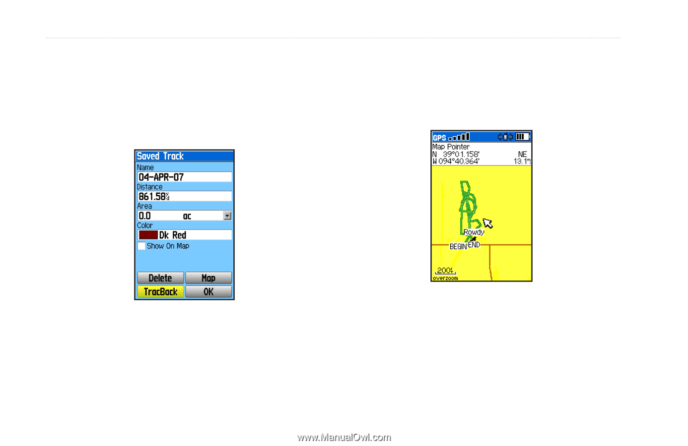
and the units for the calculated area. Changing the color, on the Dog Tracker - gps tracker
 |
View all Garmin Astro 320 manuals
Add to My Manuals
Save this manual to your list of manuals |
Page 38 highlights
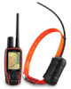
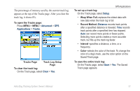
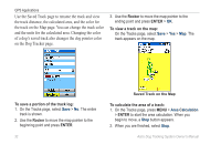
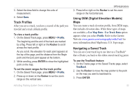
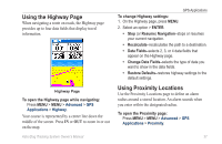
GPS Applications Use the Saved Track page to rename the track and view the track distance, the calculated area, and the color for the track on the Map page. You can change the track color and the units for the calculated area. Changing the color of a dog's saved track also changes the dog pointer color on the Dog Tracker page. 3. Use the Rocker to move the map pointer to the ending point and press ENTER > OK. To view a track on the map: On the Tracks page, select Save > Yes > Map. The track appears on the map. To save a portion of the track log: 1. On the Tracks page, select Save > No. The entire track is shown. 2. Use the Rocker to move the map pointer to the beginning point and press ENTER. 32 Saved Track on the Map To calculate the area of a track: 1. On the Tracks page, press MENU > Area Calculation > ENTER to start the area calculation. When you begin to move, a Stop button appears. 2. When you are finished, select Stop. Astro Dog Tracking System Owner's Manual
-
 1
1 -
2
-
3
-
4
-
5
-
6
-
7
-
8
-
9
-
10
-
11
-
12
-
13
-
14
-
15
-
16
-
17
-
18
-
19
-
20
-
21
-
22
-
23
-
24
-
25
-
26
-
27
-
28
-
29
-
30
-
31
-
32
-
 33
33 -
 34
34 -
 35
35 -
 36
36 -
 37
37 -
 38
38 -
 39
39 -
 40
40 -
 41
41 -
 42
42 -
 43
43 -
44
-
45
-
46
-
47
-
48
-
49
-
50
-
51
-
52
-
53
-
54
-
55
-
56
-
57
-
58
-
59
-
60
-
61
-
62
-
63
-
64
-
65
-
66
-
67
-
68
-
69
-
70
-
71
-
72
-
73
-
74
-
75
-
76
 |
 |