2004 Lexus GS 300 Navigation Manual - Page 66
2004 Lexus GS 300 Manual
Page 66 highlights
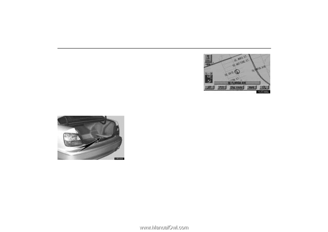
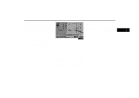
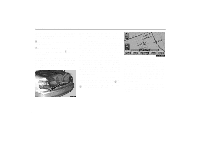
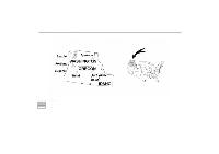
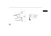
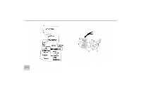
Map Database Information and Updates This system uses the maps of DENSO based on NAVTECH maps, GDT maps and infoUSA POIs. There are two types of areas available for route guidance. (See the following pages.) In one type of area, primarily around metropolitan centers, detailed route guidance is available for the entire area. In the other type of area, all roads are displayed on the map but route guidance is limited. The navigation route might lack precision because the data (no right turns, one-way traffic, etc.) is not complete. It is still possible to reach the destination by following the arrow direction and distance as shown on the bottom left of the screen. The arrow points in the direction of the destination. The distance shown is as measured in a straight line from the current vehicle position to the destination area. COPYRIGHT NOTICE: This area includes information taken with permission from Canadian authorities, including EHer Majesty the Queen in Right of Canada, EQueen's Printer for Ontario. E 2002 Navigation Technologies. All rights reserved. EGDT, Geographic Data Technology, Inc. Data by infoUSA Copyright E2002, All rights reserved. This product contains proprietary and confidential property of NAVTECH, GDT and infoUSA. Unauthorized use, including duplication of this product is expressly prohibited. 1UE088a In order to provide you with accurate map information as much as possible, we are always gathering information such as road repairs and doing site investigation. However, the names of roads, streets, facilities, and their locations are often changed. In some places, construction on roads may be in progress. For that reason, information on some areas in this system might be different from the actual location. The map database is normally updated once a year. Contact your Lexus dealer for information about the availability and pricing of an update. UNG000 56
-
 1
1 -
2
-
3
-
4
-
5
-
6
-
7
-
8
-
9
-
10
-
11
-
12
-
13
-
14
-
15
-
16
-
17
-
18
-
19
-
20
-
21
-
22
-
23
-
24
-
25
-
26
-
27
-
28
-
29
-
30
-
31
-
32
-
33
-
34
-
35
-
36
-
37
-
38
-
39
-
40
-
41
-
42
-
43
-
44
-
45
-
46
-
47
-
48
-
49
-
50
-
51
-
52
-
53
-
54
-
55
-
56
-
57
-
58
-
59
-
60
-
 61
61 -
 62
62 -
 63
63 -
 64
64 -
 65
65 -
 66
66 -
 67
67 -
 68
68 -
 69
69 -
 70
70 -
 71
71 -
72
-
73
-
74
-
75
-
76
-
77
-
78
-
79
-
80
-
81
-
82
-
83
-
84
-
85
-
86
-
87
-
88
-
89
-
90
-
91
-
92
-
93
-
94
-
95
-
96
-
97
-
98
-
99
-
100
-
101
-
102
-
103
-
104
-
105
-
106
-
107
-
108
-
109
-
110
-
111
-
112
-
113
-
114
-
115
-
116
-
117
-
118
-
119
-
120
-
121
-
122
-
123
-
124
-
125
-
126
-
127
-
128
-
129
-
130
-
131
-
132
-
133
-
134
-
135
-
136
-
137
-
138
-
139
-
140
-
141
-
142
-
143
-
144
-
145
-
146
-
147
-
148
-
149
-
150
-
151
-
152
 |
 |