Garmin eTrex Legend C Owner's Manual - Page 50
To stop navigation, To select data field options
 |
UPC - 753759045555
View all Garmin eTrex Legend C manuals
Add to My Manuals
Save this manual to your list of manuals |
Page 50 highlights
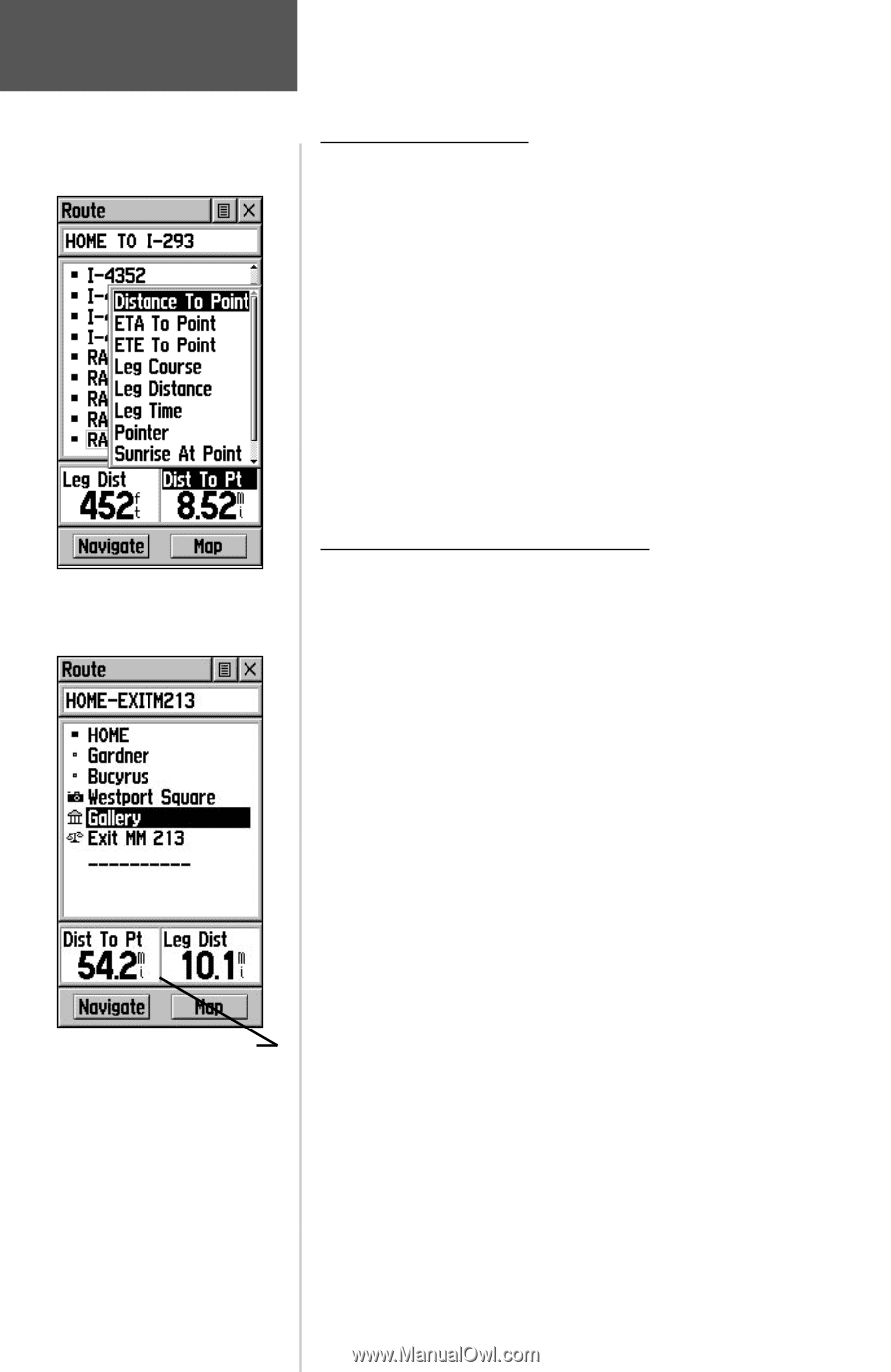
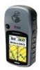
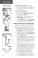
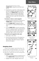
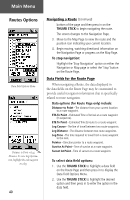
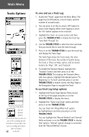
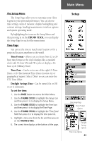
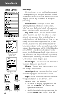
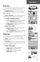
Main Menu Routes Options Data Field Options Menu Distance to Point vs Leg Distance. To view Leg information, highlight the end waypoint on a leg. 40 Navigating a Route (Continued) bottom of the page and then press in on the THUMB STICK to begin navigating the route. The screen changes to the Navigation Page. 3. Move to the Map Page to view the route and the position icon indicating your current location. 4. Begin moving, watching directional information on the Navigation Page or progress on the Map Page. To stop navigation: Highlight the 'Stop Navigation' option on either the Navigation or Map page or select the 'Stop' button on the Route Page. Data Fields for the Route Page When navigating a Route, the data displayed in the data fields on the Route Page may be customized to provide useful navigation information that is specifically related to route navigation. Data options (for Route Page only) include: Distance to Point - The distance from your current location to a route waypoint. ETA To Point - Estimated Time of Arrival at a route waypoint (in sequence). ETE To Point - Estimated Time Enroute to a route waypoint. Leg Course - The line of travel between two route waypoints. Leg Distance - The distance between two route waypoints. Leg Time - The time required to travel from a route waypoint to the next. Pointer - Direction pointer to a route waypoint. Sunrise At Point - Time of sunrise at a route waypoint. Sunset At Point - Time of sunset at a route waypoint. To select data field options: 1. Use the THUMB STICK to highlight a data field on the Route Page and then press in to display the Data Field Options Menu. 2. Use the THUMB STICK to highlight the desired option and then press in to enter the option in the data field.
-
 1
1 -
2
-
3
-
4
-
5
-
6
-
7
-
8
-
9
-
10
-
11
-
12
-
13
-
14
-
15
-
16
-
17
-
18
-
19
-
20
-
21
-
22
-
23
-
24
-
25
-
26
-
27
-
28
-
29
-
30
-
31
-
32
-
33
-
34
-
35
-
36
-
37
-
38
-
39
-
40
-
41
-
42
-
43
-
44
-
 45
45 -
 46
46 -
 47
47 -
 48
48 -
 49
49 -
 50
50 -
 51
51 -
 52
52 -
 53
53 -
 54
54 -
 55
55 -
56
-
57
-
58
-
59
-
60
-
61
-
62
-
63
-
64
-
65
-
66
-
67
-
68
-
69
-
70
-
71
-
72
-
73
-
74
-
75
-
76
 |
 |