Garmin Astro Astro and DC 40 Owner's Manual - Page 45
Auto Zoom, Detail, Lock On Road, Saved Tracks, Track Log, Track Points, Go To Line, Tracks - cover
 |
UPC - 753759063931
View all Garmin Astro manuals
Add to My Manuals
Save this manual to your list of manuals |
Page 45 highlights
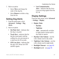
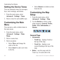
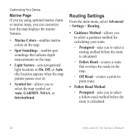
setting, the map orientation switches to North Up. • Auto Zoom-automatically selects the appropriate zoom level for optimal use on your map. When Off is selected, you must zoom in or out manually. • Detail-allows you to select the amount of map data displayed on the device. note: Higher detail settings may cause the map to redraw slowly. • Lock On Road-locks the position pointer to the nearest road. Tracks Page • Saved Tracks-sets the maximum zoom at which saved tracks are shown. • Track Log-sets the maximum zoom at which active track logs are shown. Customizing Your Device • Track Points-sets the maximum number of track points used to record a track. • Go To Line-allows you to select either a bearing line or a course line (page 28) to navigate a track. Points Page You can customize the maximum zoom level for map points, marked locations, street labels, and land cover. Text Page You can customize the text size for the descriptions of map items. Information Page You can view the list of optional detailed maps. Customizing Your Detailed Maps • Select a check box to enable a detailed map. • Press MENU to select options for hiding or showing maps. Astro and DC 40 Owner's Manual 41
-
 1
1 -
2
-
3
-
4
-
5
-
6
-
7
-
8
-
9
-
10
-
11
-
12
-
13
-
14
-
15
-
16
-
17
-
18
-
19
-
20
-
21
-
22
-
23
-
24
-
25
-
26
-
27
-
28
-
29
-
30
-
31
-
32
-
33
-
34
-
35
-
36
-
37
-
38
-
39
-
 40
40 -
 41
41 -
 42
42 -
 43
43 -
 44
44 -
 45
45 -
 46
46 -
 47
47 -
 48
48 -
 49
49 -
 50
50 -
51
-
52
-
53
-
54
-
55
-
56
-
57
-
58
-
59
-
60
-
61
-
62
-
63
-
64
-
65
-
66
-
67
-
68
-
69
-
70
-
71
-
72
-
73
-
74
-
75
-
76
-
77
-
78
-
79
-
80
-
81
-
82
-
83
-
84
 |
 |
