Garmin Astro Astro and DC 40 Owner's Manual - Page 46
Routing Settings, Marine
 |
UPC - 753759063931
View all Garmin Astro manuals
Add to My Manuals
Save this manual to your list of manuals |
Page 46 highlights
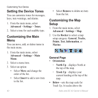
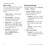
Customizing Your Device Marine Page If you are using optional marine charts or marine maps, you can customize how the map displays the marine features. • Marine Colors-enables marine colors on the map. • Spot Soundings-enables spot soundings that indicate depth measurements on the map. • Light Sectors-sets navigational light locations to On, Off, or Auto (the location appears when the map pointer passes over it). • Symbol Set-allows you to select the map symbol set: Auto, GARMIN, NOAA, or International. Routing Settings From the main menu, select Advanced > Settings > Routing. • Guidance Method-allows you to select a guidance method for calculating your route. ◦ Prompted-asks you to select a routing method before the route is calculated. ◦ Follow Road-creates a route that overlays the roads on the map. ◦ Off Road-creates a point-topoint route. • Follow Road Method ◦ Prompted-asks you to select a follow-road method before the route is calculated. 42 Astro and DC 40 Owner's Manual
-
 1
1 -
2
-
3
-
4
-
5
-
6
-
7
-
8
-
9
-
10
-
11
-
12
-
13
-
14
-
15
-
16
-
17
-
18
-
19
-
20
-
21
-
22
-
23
-
24
-
25
-
26
-
27
-
28
-
29
-
30
-
31
-
32
-
33
-
34
-
35
-
36
-
37
-
38
-
39
-
40
-
 41
41 -
 42
42 -
 43
43 -
 44
44 -
 45
45 -
 46
46 -
 47
47 -
 48
48 -
 49
49 -
 50
50 -
 51
51 -
52
-
53
-
54
-
55
-
56
-
57
-
58
-
59
-
60
-
61
-
62
-
63
-
64
-
65
-
66
-
67
-
68
-
69
-
70
-
71
-
72
-
73
-
74
-
75
-
76
-
77
-
78
-
79
-
80
-
81
-
82
-
83
-
84
 |
 |
