Garmin GPSMAP 527 Owner's Manual - Page 56
Configuring Navigation Preferences, Shoreline Distance Auto Guidance Setting
 |
View all Garmin GPSMAP 527 manuals
Add to My Manuals
Save this manual to your list of manuals |
Page 56 highlights
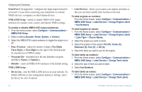
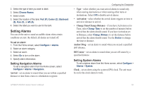
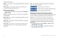
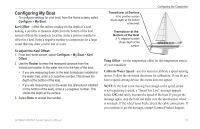
Configuring the Chartplotter Configuring Navigation Preferences To change navigation preferences, from the Home screen, select Configure > Preferences > Navigation. Route Labels-for saved routes, this determines whether route turns are indicated by number (Turn 1, Turn 2, and so on) or by waypoint name, or whether the description of turns is hidden. Turn Transition-set how much time or how far before a turn in a route that you transition to the next leg. Speed Sources-specify the sensor used for wind numbers and fuel economy. Select Wind or Fuel Economy to toggle between water (from a water-speed sensor) and GPS (from the calculated GPS speed). Auto Guidance-set the automatic guidance parameters: • Safe Depth-set the minimum depth (chart depth datum) to allow when calculating an automatic guidance path. A safe depth of less than one meter is not allowed when using automatic guidance. • Safe Height-set the minimum height (chart height datum) of a bridge that your boat can safely travel under. • Shoreline Distance-set the safe distance for your boat from the shore: Nearest, Near, Normal, Far, or Farthest. Shoreline Distance Auto Guidance Setting The Shoreline Distance setting indicates how close to the shore you want the auto-guidance line to be placed. The auto-guidance line may move if you change this setting while navigating. The available values for the Shoreline Distance setting (Nearest, Near, Normal, Far, or Farthest) are relative, not absolute. To ensure that the auto-guidance line is placed an appropriate distance from shore, you can assess the placement of the auto-guidance line using one or more familiar destinations that require navigation through a narrow waterway. To set the distance from shore: 1. Dock your boat or drop anchor. 2. From the Home screen, select Configure > Preferences > Navigation > Auto Guidance > Shoreline Dist. > Normal. 3. From Home screen, select Where To? > Waypoints. 4. Select a waypoint for a destination that you have navigated to previously. 5. Select Navigate To > Guide To. 6. Review the placement of the Auto Guidance line. Determine whether the line safely avoids known obstacles, and whether the turns enable efficient travel. 7. Complete an action: 50 GPSMAP 400/500 Series Owner's Manual
-
 1
1 -
2
-
3
-
4
-
5
-
6
-
7
-
8
-
9
-
10
-
11
-
12
-
13
-
14
-
15
-
16
-
17
-
18
-
19
-
20
-
21
-
22
-
23
-
24
-
25
-
26
-
27
-
28
-
29
-
30
-
31
-
32
-
33
-
34
-
35
-
36
-
37
-
38
-
39
-
40
-
41
-
42
-
43
-
44
-
45
-
46
-
47
-
48
-
49
-
50
-
 51
51 -
 52
52 -
 53
53 -
 54
54 -
 55
55 -
 56
56 -
 57
57 -
 58
58 -
 59
59 -
 60
60 -
 61
61 -
62
-
63
-
64
-
65
-
66
-
67
-
68
-
69
-
70
-
71
-
72
-
73
-
74
-
75
-
76
-
77
-
78
-
79
-
80
-
81
-
82
-
83
-
84
 |
 |