Garmin HTAWS User Guide - Page 25
When a GDL 69/69A is installed, the TAF Termi
 |
View all Garmin HTAWS manuals
Add to My Manuals
Save this manual to your list of manuals |
Page 25 highlights
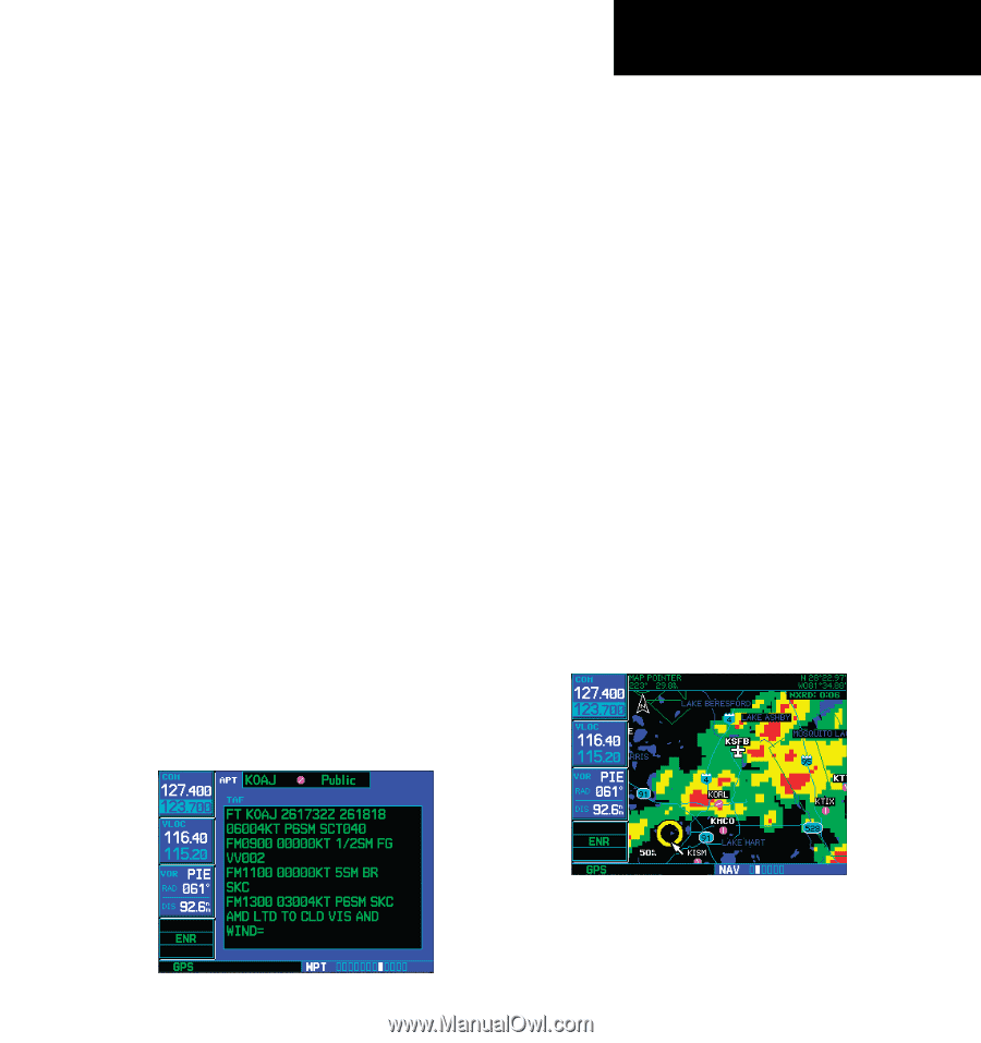
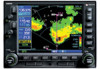
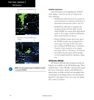
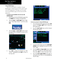
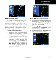
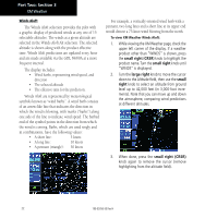
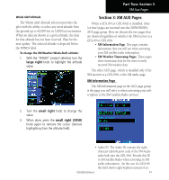
Part Two: Section 2 XM Weather Textual METAR/TAF Code The current airport weather reports on the Textual METAR page (and the airport weather forecasts on the TAF page, too) use a rather cryptic format originally devised for teleprinters. You can find information about this format in an FAA publication, Aviation Weather Formats: METAR/TAF, which can be downloaded from the FAA Web site. You may see the following codes, which differ slightly from the codes described in the FAA publication referenced above, at the start of a METAR on the Textual METAR page: • SA = METAR - a standard hourly METAR report. • SP = SPECI - a Special Report inserted between regular hourly METARs to provide late-breaking weather news. TAF Page When a GDL 69/69A is installed, the TAF (Terminal Aerodrome Forecast) page is inserted into the WPT page group, immediately after the Textual METAR page. This page shows a text message giving a weather forecast for a particular airport. The format is similar to that used for METARS, but describes a weather forecast rather than current weather at the particular airport. TFR Information Areas with TFRs (Temporary Flight Restrictions) are shown outlined in yellow on the NAV main page of the 500W-series and on the Map and XM Weather page of both the 400W and 500W-series. More information about Temporary Flight Restrictions can be seen on the TFR Information page, which can be accessed from the Map page or the XM Weather page. 1a. With the Map page (the second page of the NAV page group) displayed, press the small right knob to bring up the map pointer. or 1b. With the XM Weather page (the third page of the NAV page group) displayed, press the MENU key to bring up the Page Menu. Then, turn the large right knob to highlight "Show Map Pointer" and press ENT to bring up the map pointer. 2. Turn the large and small right knobs to move the map pointer to the yellow boundary of a TFR region. When the map pointer is within the TFR region, its boundary will be highlighted with a wider yellow line. 190-00356-30 Rev H 19
-
 1
1 -
2
-
3
-
4
-
5
-
6
-
7
-
8
-
9
-
10
-
11
-
12
-
13
-
14
-
15
-
16
-
17
-
18
-
19
-
 20
20 -
 21
21 -
 22
22 -
 23
23 -
 24
24 -
 25
25 -
 26
26 -
 27
27 -
 28
28 -
 29
29 -
 30
30 -
31
-
32
-
33
-
34
-
35
-
36
-
37
-
38
-
39
-
40
-
41
-
42
-
43
-
44
-
45
-
46
-
47
-
48
-
49
-
50
-
51
-
52
-
53
-
54
-
55
-
56
-
57
-
58
-
59
-
60
-
61
-
62
-
63
-
64
-
65
-
66
-
67
-
68
-
69
-
70
-
71
-
72
-
73
-
74
-
75
-
76
-
77
-
78
 |
 |