Garmin eTrex Summit Owner's Manual (Software Version 3.00 and above) &nbs - Page 11
Features - gps navigator 2 3
 |
View all Garmin eTrex Summit manuals
Add to My Manuals
Save this manual to your list of manuals |
Page 11 highlights
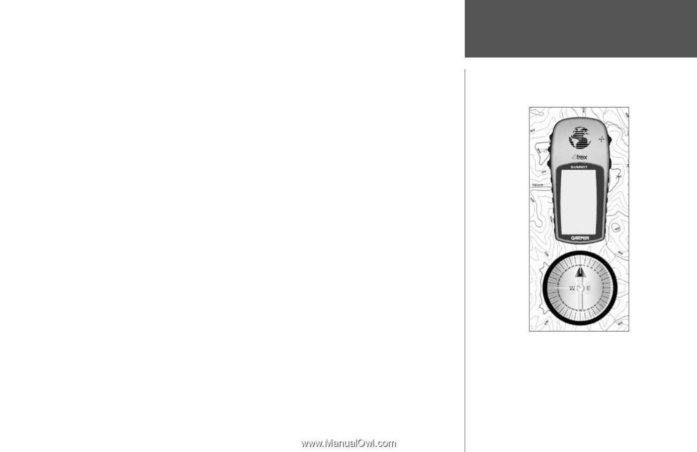
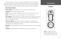
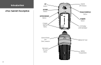
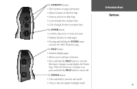
The eTrex Summit is a six ounce, 12-channel, handheld GPS receiver. It has a built-in GPS antenna and only five user-buttons. All buttons are located on either side of the unit, allowing for simple, one-handed operation that won't obstruct your view of the display. It runs for up to 22 hours on two AA batteries in battery save mode (16 hours typical use). Other features include: WAAS Enabled: WAAS enabled for accuracy less than 3 meters, 95% typical Waypoints: 500 with name and graphic symbol. Tracks: Automatic track log; 10,000 point active track, 10 saved tracks (750 pts. each). Routes: 20 Routes that let you navigate through a set of 125 waypoints each. Trip Computer: 31 data field choices, including current speed, average speed, maximum speed, bearing, elevation, location, time of sunrise/sunset, trip timer and trip odometer. Allows for dual position formats. Elevation Computer: Total ascent, total descent, average ascent, average descent, maximum ascent, maximum descent, vertical speed, pressure, 12 hour pressure trend, maximum elevation, and minimum elevation. Hunt/Fish: A page displaying the best times for hunting and fishing at a chosen waypoint and date. Sun/Moon: A page displaying sun and moon rise and set by date and location. Introduction Features NOTE: You should always be prepared and capable of navigating without the eTrex Summit. It is designed to augment other forms of basic navigation, not entirely replace them. ix
-
 1
1 -
2
-
3
-
4
-
5
-
 6
6 -
 7
7 -
 8
8 -
 9
9 -
 10
10 -
 11
11 -
 12
12 -
 13
13 -
 14
14 -
 15
15 -
 16
16 -
17
-
18
-
19
-
20
-
21
-
22
-
23
-
24
-
25
-
26
-
27
-
28
-
29
-
30
-
31
-
32
-
33
-
34
-
35
-
36
-
37
-
38
-
39
-
40
-
41
-
42
-
43
-
44
-
45
-
46
-
47
-
48
-
49
-
50
-
51
-
52
-
53
-
54
-
55
-
56
-
57
-
58
-
59
-
60
-
61
-
62
-
63
-
64
-
65
-
66
-
67
-
68
-
69
-
70
-
71
-
72
-
73
-
74
-
75
-
76
-
77
-
78
-
79
-
80
 |
 |