Garmin eTrex Summit Owner's Manual (Software Version 3.00 and above) &nbs - Page 36
To set Zoom Distance, To set Zoom Elevation
 |
View all Garmin eTrex Summit manuals
Add to My Manuals
Save this manual to your list of manuals |
Page 36 highlights
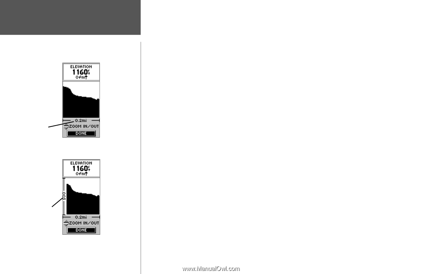
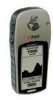
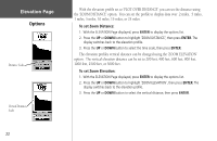
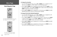
Elevation Page Options Distance Scale Vertical Distance Scale With the elevation profile set to 'PLOT OVER DISTANCE' you can set the distance using the 'ZOOM DISTANCE' option. You can set the profile to display data over .2 miles, .5 miles, 1 miles, 5 miles, 10 miles, 15 miles, or 25 miles. To set Zoom Distance: 1. With the ELEVATION Page displayed, press ENTER to display the options list. 2. Press the UP or DOWN button to highlight 'ZOOM DISTANCE', then press ENTER. The display switches back to the elevation profile. 3. Press the UP or DOWN button to select the time scale, then press ENTER. The elevation profiles vertical distance can be changed using the 'ZOOM ELEVATION' option. The vertical elevation distance can be set to 200 feet, 400 feet, 600 feet, 800 feet, 1000 feet, 2500 feet, or 5000 feet. To set Zoom Elevation: 1. With the ELEVATION Page displayed, press ENTER to display the options list. 2. Press the UP or DOWN button to highlight 'ZOOM ELEVATION', then press ENTER. The display switches back to the elevation profile. 3. Press the UP or DOWN button to select the vertical distance, then press ENTER. 22
-
 1
1 -
2
-
3
-
4
-
5
-
6
-
7
-
8
-
9
-
10
-
11
-
12
-
13
-
14
-
15
-
16
-
17
-
18
-
19
-
20
-
21
-
22
-
23
-
24
-
25
-
26
-
27
-
28
-
29
-
30
-
 31
31 -
 32
32 -
 33
33 -
 34
34 -
 35
35 -
 36
36 -
 37
37 -
 38
38 -
 39
39 -
 40
40 -
 41
41 -
42
-
43
-
44
-
45
-
46
-
47
-
48
-
49
-
50
-
51
-
52
-
53
-
54
-
55
-
56
-
57
-
58
-
59
-
60
-
61
-
62
-
63
-
64
-
65
-
66
-
67
-
68
-
69
-
70
-
71
-
72
-
73
-
74
-
75
-
76
-
77
-
78
-
79
-
80
 |
 |