Garmin eTrex Summit Owner's Manual (Software Version 3.00 and above) &nbs - Page 38
Data Fields
 |
View all Garmin eTrex Summit manuals
Add to My Manuals
Save this manual to your list of manuals |
Page 38 highlights
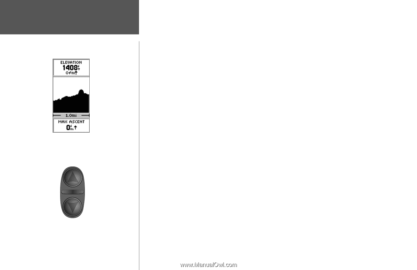
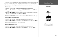
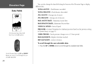
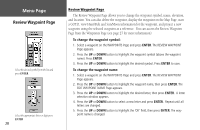
Elevation Page Data Fields The Elevation Page Data Field has 11 user selectable options. On the Elevation Page, the UP and DOWN buttons are used to scroll through the userselectable data fields. 24 You can also change the data field along the bottom of the Elevation Page to display different data. TOTAL ASCENT-Total distance ascended. TOTAL DESCENT-Total distance descended. AVG ASCENT-Average rate of ascent. AVG DESCENT-Average rate of descent. MAX ASCENT RATE-Maximum Ascent Rate. MAX DESCENT RATE-Maximum Descent Rate. VERTICAL SPEED-Vertical Speed. PRESSURE-Current Normalized or Ambient pressure based on the pressure setting in System Setup, see page 51. 12HRS PRESSR-Tracks pressure changes over a 12 hour period. MAX ELEVATION-Highest elevation reached. MIN ELEVATION-Lowest elevation. To scroll through the user selectable data: 1. Press the UP or DOWN arrow to scroll through the available data fields.
-
 1
1 -
2
-
3
-
4
-
5
-
6
-
7
-
8
-
9
-
10
-
11
-
12
-
13
-
14
-
15
-
16
-
17
-
18
-
19
-
20
-
21
-
22
-
23
-
24
-
25
-
26
-
27
-
28
-
29
-
30
-
31
-
32
-
 33
33 -
 34
34 -
 35
35 -
 36
36 -
 37
37 -
 38
38 -
 39
39 -
 40
40 -
 41
41 -
 42
42 -
 43
43 -
44
-
45
-
46
-
47
-
48
-
49
-
50
-
51
-
52
-
53
-
54
-
55
-
56
-
57
-
58
-
59
-
60
-
61
-
62
-
63
-
64
-
65
-
66
-
67
-
68
-
69
-
70
-
71
-
72
-
73
-
74
-
75
-
76
-
77
-
78
-
79
-
80
 |
 |