Garmin GPS III Plus Owner's Manual - Page 77
Show Map, Setup Plan, Re-evaluate
 |
UPC - 753759015817
View all Garmin GPS III Plus manuals
Add to My Manuals
Save this manual to your list of manuals |
Page 77 highlights
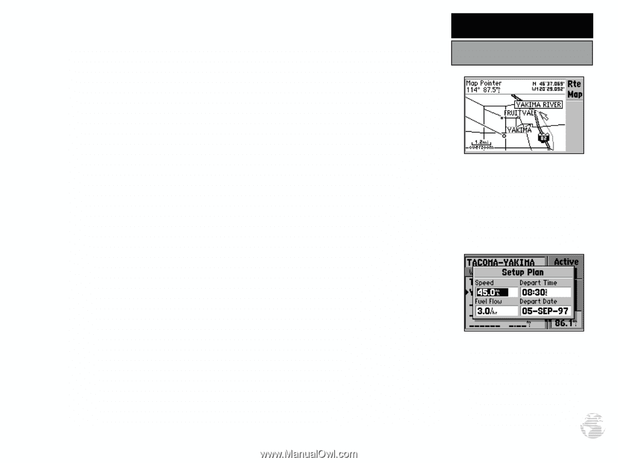
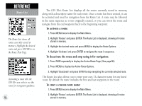
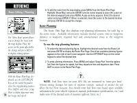
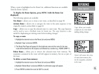
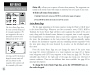
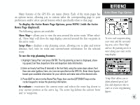
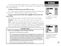
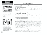
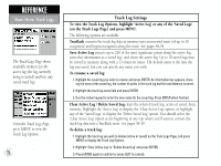
Many features of the GPS III+ are menu driven. Each of the main pages has an options menu, allowing you to custom tailor the corresponding page to your preferences and/or select special features which specifically relate to that page. To display the Active Route Page Options, press MENU (with the Active Route Page displayed). The following options are available: Show Map- allows you to view the area around the active route. When selected, 'Show Map' will show the map display centered around the first waypoint in the active route. Setup Plan- displays a trip planning screen, allowing you to plan and review distance, fuel, time en route and sunrise/sunset information for the selected route. To use the trip planning features: 1. Highlight 'Setup Plan' and press ENTER. The trip planning screen is displayed, showing speed, fuel flow, departure time and departure date information. 2. Enter an hourly fuel flow (if desired) in the fuel field, using the same steps above. Fuel flow rate units (gallons, liters, etc.) are not specified on the GPS III+. Enter these figures based upon available information for your vehicle and make note of the desired units. 3. Press QUIT to return to the Route Plan Page, then use the LEFT/RIGHT keys on the rocker keypad to review the planning information. Re-evaluate- reactivates the current route and selects the route leg closest to your current position as the active leg. The active leg defines the current 'from' and 'to' waypoints. REFERENCE Active Route Page Options To view each waypoint along your route and the surrounding area, select 'Show Map' and use the panning arrow to move along your route on the map display. 'Setup Plan' allows you to define planned speed, fuel flow and departure time in order to review trip planning figures. 67
-
 1
1 -
2
-
3
-
4
-
5
-
6
-
7
-
8
-
9
-
10
-
11
-
12
-
13
-
14
-
15
-
16
-
17
-
18
-
19
-
20
-
21
-
22
-
23
-
24
-
25
-
26
-
27
-
28
-
29
-
30
-
31
-
32
-
33
-
34
-
35
-
36
-
37
-
38
-
39
-
40
-
41
-
42
-
43
-
44
-
45
-
46
-
47
-
48
-
49
-
50
-
51
-
52
-
53
-
54
-
55
-
56
-
57
-
58
-
59
-
60
-
61
-
62
-
63
-
64
-
65
-
66
-
67
-
68
-
69
-
70
-
71
-
 72
72 -
 73
73 -
 74
74 -
 75
75 -
 76
76 -
 77
77 -
 78
78 -
 79
79 -
 80
80 -
 81
81 -
 82
82 -
83
-
84
-
85
-
86
-
87
-
88
-
89
-
90
-
91
-
92
-
93
-
94
-
95
-
96
-
97
-
98
-
99
-
100
-
101
-
102
-
103
-
104
-
105
-
106
-
107
-
108
-
109
-
110
-
111
-
112
-
113
-
114
 |
 |