Nextar Q4-MD User Manual - Page 60
Route Information screen - updates
 |
UPC - 714129929912
View all Nextar Q4-MD manuals
Add to My Manuals
Save this manual to your list of manuals |
Page 60 highlights
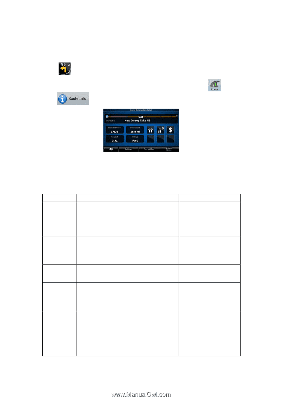
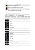
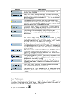
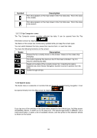
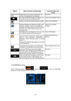
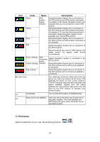
5.1.6 Route Information screen The Route Information screen has all the data and some of the functions you need while you navigate. There are two ways to open this screen: • It can be opened directly from the Map screen by tapping the Turn Preview field ( ). • In Advanced mode, from the Navigation menu tap the following buttons: , . In the top section of the screen you see information about the current route. The fields on this screen are continuously updated while you keep the screen open. When you open the screen, all fields contain information about reaching your final destination. Tap any of the fields to see data on the via points starting from the first one through the final destination again. You have the following data and functions on this screen: Name Route line Estimated Arrival Distance Left Time Left Method Description Function The upper part of this screen shows your Tap this field to change the planned route as a horizontal line. Its leftmost content of all data fields to point is the start of the route, the rightmost one via point information. is the final destination, and you can see your via point flags along the line, spaced in proportion to their distance. Shows the estimated arrival time at the final destination of the route based on information available for the remaining segments of the route. The calculation cannot take into account traffic jams and other possible delays. Tap this field to change the content of all data fields to via point information. Shows the distance you need to travel on the route before reaching your final destination. Tap this field to change the content of all data fields to via point information. Shows the time needed to reach the final destination of the route based on information available for the remaining segments of the route. The calculation cannot take into account traffic jams and other possible delays. Tap this field to change the content of all data fields to via point information. This field shows how the route was calculated. It Tap this field to change the either displays the Route Calculation Method or content of all data fields to the Vehicle field from the Route Planning via point information. options. If you have chosen Car, Taxi or Bus, the type of the route (Fast, Short, Easy or Economical) will be displayed here; if you have selected Emergency, Bicycle or Pedestrian, this information will be displayed here. 61
-
 1
1 -
2
-
3
-
4
-
5
-
6
-
7
-
8
-
9
-
10
-
11
-
12
-
13
-
14
-
15
-
16
-
17
-
18
-
19
-
20
-
21
-
22
-
23
-
24
-
25
-
26
-
27
-
28
-
29
-
30
-
31
-
32
-
33
-
34
-
35
-
36
-
37
-
38
-
39
-
40
-
41
-
42
-
43
-
44
-
45
-
46
-
47
-
48
-
49
-
50
-
51
-
52
-
53
-
54
-
 55
55 -
 56
56 -
 57
57 -
 58
58 -
 59
59 -
 60
60 -
 61
61 -
 62
62 -
 63
63 -
 64
64 -
 65
65 -
66
-
67
-
68
-
69
-
70
-
71
-
72
-
73
-
74
-
75
-
76
-
77
-
78
-
79
-
80
-
81
-
82
-
83
-
84
-
85
 |
 |