Garmin GPS 152 Owner's Manual - Page 30
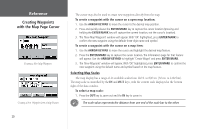
Creating Waypoints, with the Map Cursor
 |
UPC - 753759028145
View all Garmin GPS 152 manuals
Add to My Manuals
Save this manual to your list of manuals |
Page 30 highlights
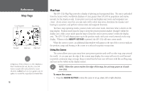
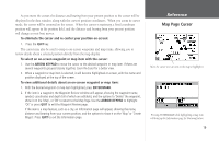
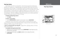
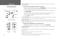
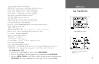
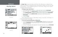
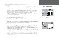
Reference Creating Waypoints with the Map Page Cursor Creating a New Map Waypoint Creating a New Waypoint from a Map Feature The cursor may also be used to create new waypoints directly from the map. To create a waypoint with the cursor on a open map location: 1. Use the ARROW KEYPAD to move the cursor to the desired map position. 2. Press and quickly release the ENTER/MARK key to capture the cursor location (pressing and holding the ENTER/MARK key will capture the current location, not the cursor's location). 3. The 'New Map Waypoint' window will appear. With 'OK' highlighted, press ENTER/MARK to confirm the new waypoint using the default three-digit name and symbol. To create a waypoint with the cursor on a map item: 1. Use the ARROW KEYPAD to move the cursor and highlight the desired map feature. 2. Press the ENTER/MARK key to capture the cursor location. The Information page for that feature will appear. Use the ARROW KEYPAD to highlight 'Create Waypt' and press ENTER/MARK. 3. The 'New Waypoint' window will appear. With 'OK' highlighted, press ENTER/MARK to confirm the new waypoint using the default name and symbol based on the map feature. Selecting Map Scales The map display has a range of 24 available scales from 120 ft. to 800 mi. (30 mt. to 1200 km). The map scale is controlled by the IN and OUT keys, with the current scale displayed at the bottom right of the data window. To select a map scale: 1. Press the OUT key to zoom out and the IN key to zoom in. ) The scale value represents the distance from one end of the scale bar to the other. 20
-
 1
1 -
2
-
3
-
4
-
5
-
6
-
7
-
8
-
9
-
10
-
11
-
12
-
13
-
14
-
15
-
16
-
17
-
18
-
19
-
20
-
21
-
22
-
23
-
24
-
 25
25 -
 26
26 -
 27
27 -
 28
28 -
 29
29 -
 30
30 -
 31
31 -
 32
32 -
 33
33 -
 34
34 -
 35
35 -
36
-
37
-
38
-
39
-
40
-
41
-
42
-
43
-
44
-
45
-
46
-
47
-
48
-
49
-
50
-
51
-
52
-
53
-
54
-
55
-
56
-
57
-
58
-
59
-
60
-
61
-
62
-
63
-
64
-
65
-
66
-
67
-
68
-
69
-
70
-
71
-
72
-
73
-
74
-
75
-
76
-
77
-
78
-
79
-
80
-
81
-
82
-
83
-
84
-
85
-
86
-
87
-
88
-
89
-
90
-
91
-
92
-
93
-
94
-
95
-
96
-
97
-
98
 |
 |
