Uniden BCD325P2 Owners Manual - Page 70
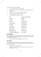
Set Location Info, E/yes, Set Range POI only
 |
View all Uniden BCD325P2 manuals
Add to My Manuals
Save this manual to your list of manuals |
Page 70 highlights
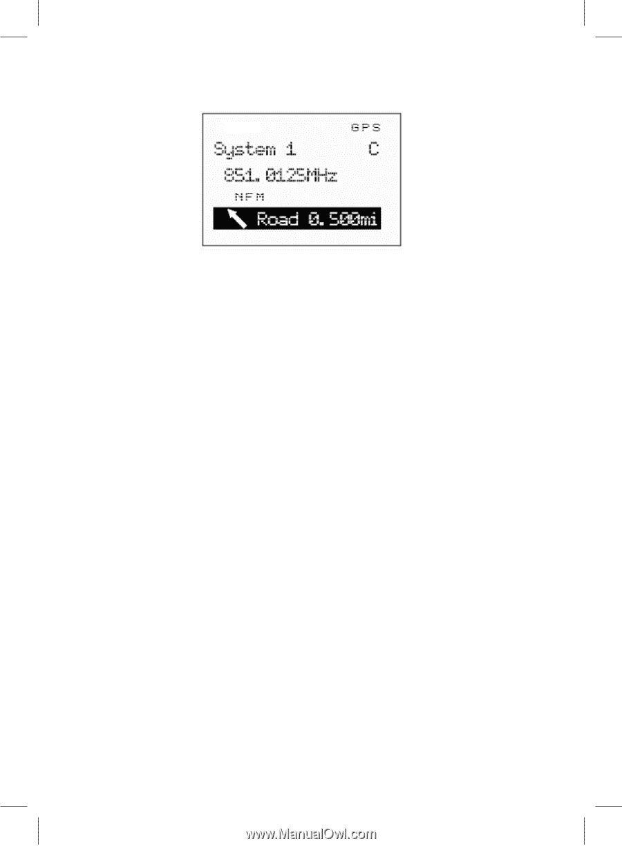
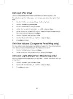
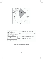
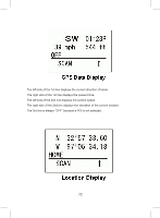
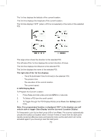
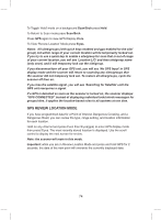
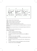
There are three ranges for each Dangerous Xing or Dangerous Road alert: 1 mile/ km, .5 mile/km and .1 mile/km. The scanner alerts once for each range when it meets both of the following two conditions: 1. The first condition is heading for the Location. A valid heading is within ±45˚ of the value set in Set Heading. 2. The second condition is speed. It meets this condition when the current speed exceeds the speed that is set in Set Speed Limit. When a second alert with a higher priority occurs during the current alert, the current alert is canceled and the scanner alerts for the higher priority alert. The priority order is as follows: 1. Dangerous Road 2. Dangerous Xing 3. Point of Interest. Set Location Info enter the latitude and longitude for the location. See Set GPS Format first to set your position format. 1. Scroll to 'Set LocationInfo' and press E/yes. 2. At 'Set Latitude' press E/yes. Enter the latitude and press E/yes. 3. At 'Set Longitude' press E/yes. Enter the longitude and press E/yes. Set Range (POI only) enter how far out from this location you want the scanner to alert you. You can also configure the scanner to sound an alert tone and flash a light when you reach the radius entered here. The default setting is '.1 mile'. 1. Scroll to 'Set Range' and press E/yes. 70
-
 1
1 -
2
-
3
-
4
-
5
-
6
-
7
-
8
-
9
-
10
-
11
-
12
-
13
-
14
-
15
-
16
-
17
-
18
-
19
-
20
-
21
-
22
-
23
-
24
-
25
-
26
-
27
-
28
-
29
-
30
-
31
-
32
-
33
-
34
-
35
-
36
-
37
-
38
-
39
-
40
-
41
-
42
-
43
-
44
-
45
-
46
-
47
-
48
-
49
-
50
-
51
-
52
-
53
-
54
-
55
-
56
-
57
-
58
-
59
-
60
-
61
-
62
-
63
-
64
-
 65
65 -
 66
66 -
 67
67 -
 68
68 -
 69
69 -
 70
70 -
 71
71 -
 72
72 -
 73
73 -
 74
74 -
 75
75 -
76
-
77
-
78
-
79
-
80
-
81
-
82
-
83
-
84
-
85
-
86
-
87
-
88
-
89
-
90
-
91
-
92
-
93
-
94
-
95
-
96
-
97
-
98
-
99
-
100
-
101
-
102
-
103
-
104
-
105
-
106
-
107
-
108
-
109
-
110
-
111
-
112
-
113
-
114
-
115
-
116
-
117
-
118
-
119
-
120
-
121
-
122
-
123
-
124
-
125
-
126
-
127
-
128
-
129
-
130
-
131
-
132
 |
 |